
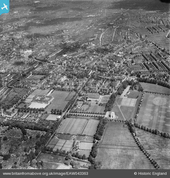
EAW043363 ENGLAND (1952). A cityscape over De Montfort Gardens and Highfields, Leicester, 1952
© Copyright OpenStreetMap contributors and licensed by the OpenStreetMap Foundation. 2025. Cartography is licensed as CC BY-SA.
Nearby Images (2)
EAW043363

EAW043364

Details
| Title | [EAW043363] A cityscape over De Montfort Gardens and Highfields, Leicester, 1952 |
| Reference | EAW043363 |
| Date | 13-May-1952 |
| Link | |
| Place name | LEICESTER |
| Parish | |
| District | |
| Country | ENGLAND |
| Easting / Northing | 459516, 303544 |
| Longitude / Latitude | -1.1206469024213, 52.626037415211 |
| National Grid Reference | SK595035 |
Pins
 steve.pyrah |
Sunday 10th of August 2014 03:39:28 PM | |
steve.pyrah |
Sunday 10th of August 2014 03:36:13 PM |