
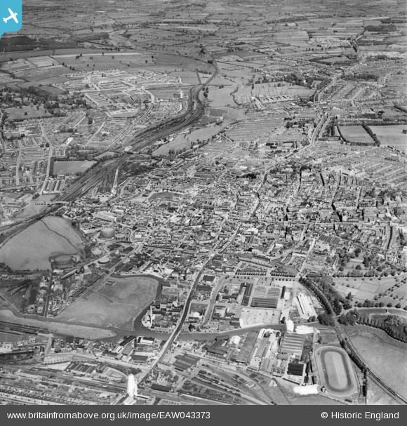
EAW043373 ENGLAND (1952). The town, Northampton, 1952
© Copyright OpenStreetMap contributors and licensed by the OpenStreetMap Foundation. 2025. Cartography is licensed as CC BY-SA.
Nearby Images (10)
EAW043373

EAW043375

EPW057746

EAW008860

EAW008858

EAW043372

EPW057749

EPW057748

EPW034342

EPW057745

Details
| Title | [EAW043373] The town, Northampton, 1952 |
| Reference | EAW043373 |
| Date | 13-May-1952 |
| Link | |
| Place name | NORTHAMPTON |
| Parish | |
| District | |
| Country | ENGLAND |
| Easting / Northing | 475213, 260541 |
| Longitude / Latitude | -0.8984462179979, 52.237517921662 |
| National Grid Reference | SP752605 |
Pins
 SalB |
Tuesday 11th of May 2021 10:05:52 PM | |
SalB |
Tuesday 11th of May 2021 09:52:48 PM | |
John W |
Sunday 7th of August 2016 11:44:43 PM | |
John W |
Sunday 7th of August 2016 11:43:41 PM | |
John W |
Sunday 7th of August 2016 11:42:36 PM |