
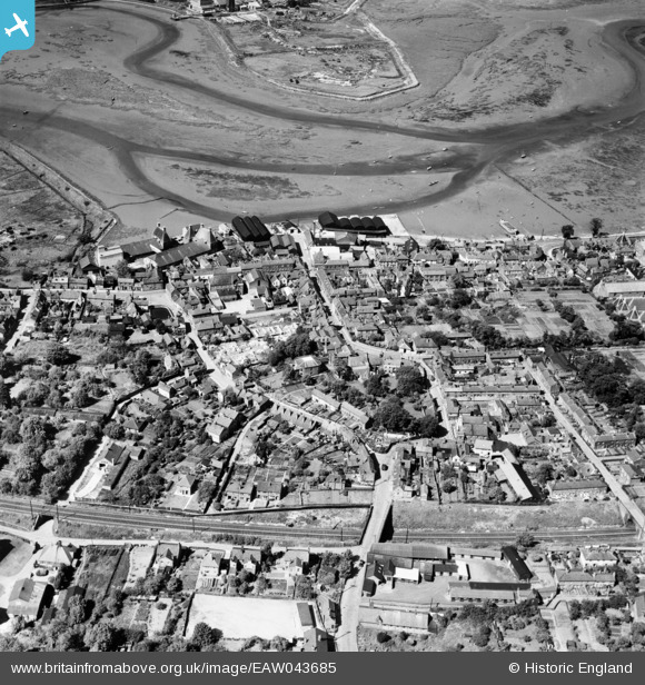
EAW043685 ENGLAND (1952). The town and River Stour, Manningtree, 1952
© Copyright OpenStreetMap contributors and licensed by the OpenStreetMap Foundation. 2025. Cartography is licensed as CC BY-SA.
Nearby Images (9)
EAW043685

EAW043682

EPW018544

EAW043683

EAW043684

EPW018542

EPW049129

EAW031070

EAW031073

Details
| Title | [EAW043685] The town and River Stour, Manningtree, 1952 |
| Reference | EAW043685 |
| Date | 4-June-1952 |
| Link | |
| Place name | MANNINGTREE |
| Parish | MANNINGTREE |
| District | |
| Country | ENGLAND |
| Easting / Northing | 610656, 231782 |
| Longitude / Latitude | 1.065358837787, 51.944154310236 |
| National Grid Reference | TM107318 |
Pins
 TheCreteFleet |
Thursday 31st of October 2024 04:39:37 PM | |
 MB |
Saturday 23rd of January 2021 03:59:17 PM | |
MB |
Saturday 23rd of January 2021 03:57:50 PM | |
MB |
Saturday 23rd of January 2021 03:55:22 PM |