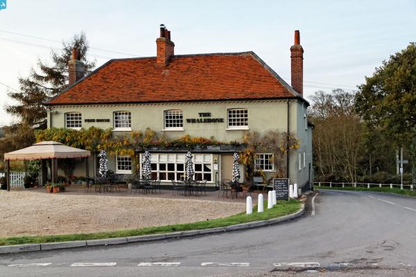
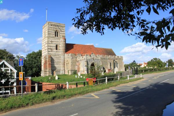
EAW044523 ENGLAND (1952). Fingringhoe Hall and St Andrew's Church, Fingringhoe, 1952. This image was marked by Aerofilms Ltd for photo editing.

© Copyright OpenStreetMap contributors and licensed by the OpenStreetMap Foundation. 2025. Cartography is licensed as CC BY-SA.
Nearby Images (9)
EAW044523

EAW044524

EAW044520

EAW045641

EAW044521

EAW045639

EAW045640

EAW045638

EAW044522

Details
| Title | [EAW044523] Fingringhoe Hall and St Andrew's Church, Fingringhoe, 1952. This image was marked by Aerofilms Ltd for photo editing. |
| Reference | EAW044523 |
| Date | 8-July-1952 |
| Link | |
| Place name | FINGRINGHOE |
| Parish | FINGRINGHOE |
| District | |
| Country | ENGLAND |
| Easting / Northing | 603011, 220342 |
| Longitude / Latitude | 0.94753997059262, 51.844265696333 |
| National Grid Reference | TM030203 |