
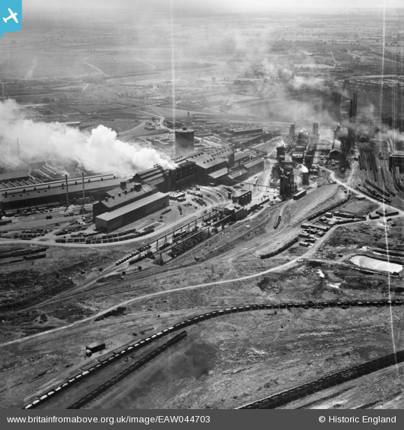
EAW044703 ENGLAND (1952). The Corby Steelworks, Corby, 1952
© Copyright OpenStreetMap contributors and licensed by the OpenStreetMap Foundation. 2025. Cartography is licensed as CC BY-SA.
Nearby Images (5)
EAW044703

EAW045439

EPW049773

EAW045454
, Corby, from the south-east, 1952")
EAW034122

Details
| Title | [EAW044703] The Corby Steelworks, Corby, 1952 |
| Reference | EAW044703 |
| Date | 22-July-1952 |
| Link | |
| Place name | CORBY |
| Parish | |
| District | |
| Country | ENGLAND |
| Easting / Northing | 490253, 289822 |
| Longitude / Latitude | -0.67035161476624, 52.498457514667 |
| National Grid Reference | SP903898 |
Pins
Be the first to add a comment to this image!