
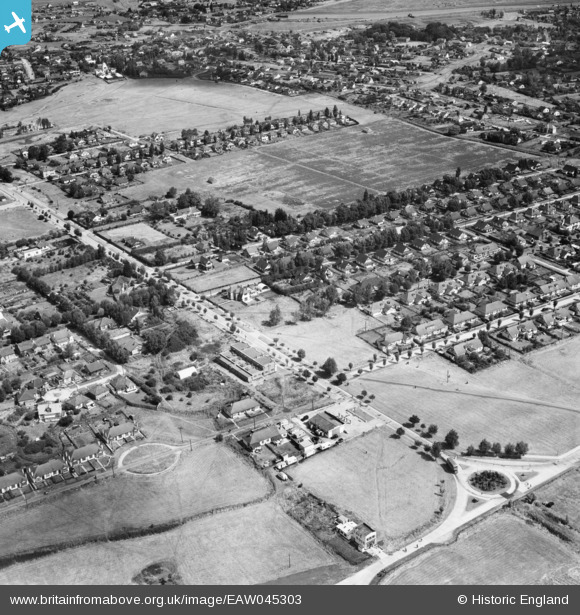
EAW045303 ENGLAND (1952). Housing around Furtherwick Road, Canvey Island, 1952
© Copyright OpenStreetMap contributors and licensed by the OpenStreetMap Foundation. 2025. Cartography is licensed as CC BY-SA.
Nearby Images (6)
EAW045303

EAW045302

EAW045304

EAW048235

EAW026917

EAW045301

Details
| Title | [EAW045303] Housing around Furtherwick Road, Canvey Island, 1952 |
| Reference | EAW045303 |
| Date | 2-August-1952 |
| Link | |
| Place name | CANVEY ISLAND |
| Parish | CANVEY ISLAND |
| District | |
| Country | ENGLAND |
| Easting / Northing | 580109, 182848 |
| Longitude / Latitude | 0.59607333385698, 51.515318735436 |
| National Grid Reference | TQ801828 |
Pins
Be the first to add a comment to this image!