
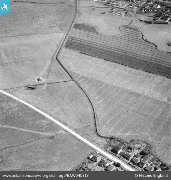
EAW045313 ENGLAND (1952). New Road and adjacent fields, Canvey Island, 1952
© Copyright OpenStreetMap contributors and licensed by the OpenStreetMap Foundation. 2025. Cartography is licensed as CC BY-SA.
Nearby Images (3)
EAW045313

EAW045312

EAW026928

Details
| Title | [EAW045313] New Road and adjacent fields, Canvey Island, 1952 |
| Reference | EAW045313 |
| Date | 2-August-1952 |
| Link | |
| Place name | CANVEY ISLAND |
| Parish | CANVEY ISLAND |
| District | |
| Country | ENGLAND |
| Easting / Northing | 578355, 183491 |
| Longitude / Latitude | 0.57114430849916, 51.521651588866 |
| National Grid Reference | TQ784835 |
Pins
Be the first to add a comment to this image!