
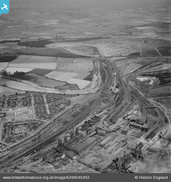
EAW045453 ENGLAND (1952). Part of the Stewarts & Lloyds Ltd Steelworks and the surrounding area, Corby, from the south-east, 1952
© Copyright OpenStreetMap contributors and licensed by the OpenStreetMap Foundation. 2025. Cartography is licensed as CC BY-SA.
Nearby Images (14)
EAW045453

EPW049765

EAW045438

EPW049767

EPW054912

EPW054923

EAW034118

EAW034121

EAW034114

EAW034117

EAW034116

EPW054913

EAW034123

EAW034119

Details
| Title | [EAW045453] Part of the Stewarts & Lloyds Ltd Steelworks and the surrounding area, Corby, from the south-east, 1952 |
| Reference | EAW045453 |
| Date | 6-August-1952 |
| Link | |
| Place name | CORBY |
| Parish | |
| District | |
| Country | ENGLAND |
| Easting / Northing | 489651, 289696 |
| Longitude / Latitude | -0.67925192687004, 52.497424260959 |
| National Grid Reference | SP897897 |
Pins
Be the first to add a comment to this image!