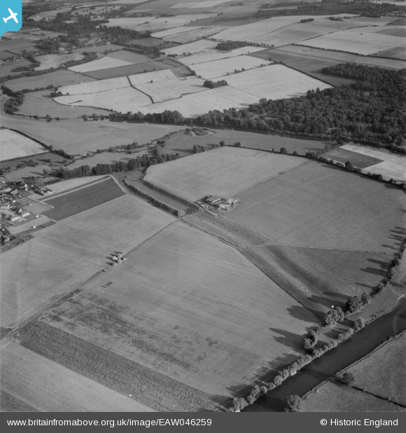
EAW046259 ENGLAND (1952). Dyke Hills, Dorchester, 1952
© Copyright OpenStreetMap contributors and licensed by the OpenStreetMap Foundation. 2025. Cartography is licensed as CC BY-SA.
Details
| Title | [EAW046259] Dyke Hills, Dorchester, 1952 |
| Reference | EAW046259 |
| Date | 25-August-1952 |
| Link | |
| Place name | DORCHESTER |
| Parish | DORCHESTER |
| District | |
| Country | ENGLAND |
| Easting / Northing | 457439, 193654 |
| Longitude / Latitude | -1.1698999074285, 51.638287113945 |
| National Grid Reference | SU574937 |
Pins
 Matt Aldred edob.mattaldred.com |
Tuesday 1st of April 2025 04:42:37 PM |


![[EAW046259] Dyke Hills, Dorchester, 1952](http://britainfromabove.org.uk/sites/all/libraries/aerofilms-images/public/100x100/EAW/046/EAW046259.jpg)
![[EAW046261] Dyke Hills, Little Wittenham Wood and Castle Hill (Sinodun Hill Camp), Dorchester, from the north, 1952](http://britainfromabove.org.uk/sites/all/libraries/aerofilms-images/public/100x100/EAW/046/EAW046261.jpg)