
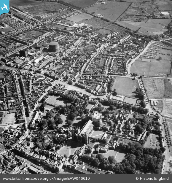
EAW046610 ENGLAND (1952). Peterborough Cathedral and the surrounding area, Peterborough, 1952
© Copyright OpenStreetMap contributors and licensed by the OpenStreetMap Foundation. 2025. Cartography is licensed as CC BY-SA.
Nearby Images (6)
EAW046610

EAW046611

EAW005688

EPW050307

EPW009852

EPW044909

Details
| Title | [EAW046610] Peterborough Cathedral and the surrounding area, Peterborough, 1952 |
| Reference | EAW046610 |
| Date | 1-September-1952 |
| Link | |
| Place name | PETERBOROUGH |
| Parish | |
| District | |
| Country | ENGLAND |
| Easting / Northing | 519622, 298756 |
| Longitude / Latitude | -0.23465144729026, 52.573093133327 |
| National Grid Reference | TL196988 |
Pins
 Martyn |
Friday 6th of December 2019 01:01:26 PM | |
 |
mandmkinl |
Sunday 29th of September 2019 07:13:23 PM |
 Class31 |
Wednesday 11th of June 2014 07:07:26 AM | |
 |
Class31 |
Wednesday 11th of June 2014 07:04:37 AM |
User Comment Contributions
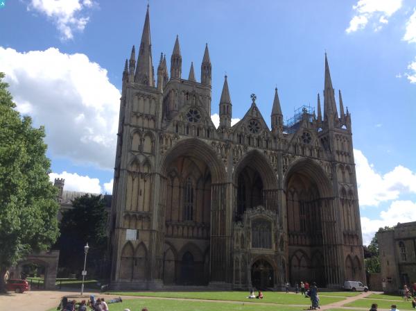
 Peterborough Cathedral, properly the Cathedral Church of St Peter, St Paul and St Andrew – also known as Saint Peter's Cathedral, Peterborough , 10/06/2014 |
Class31 |
Wednesday 11th of June 2014 07:14:14 AM |
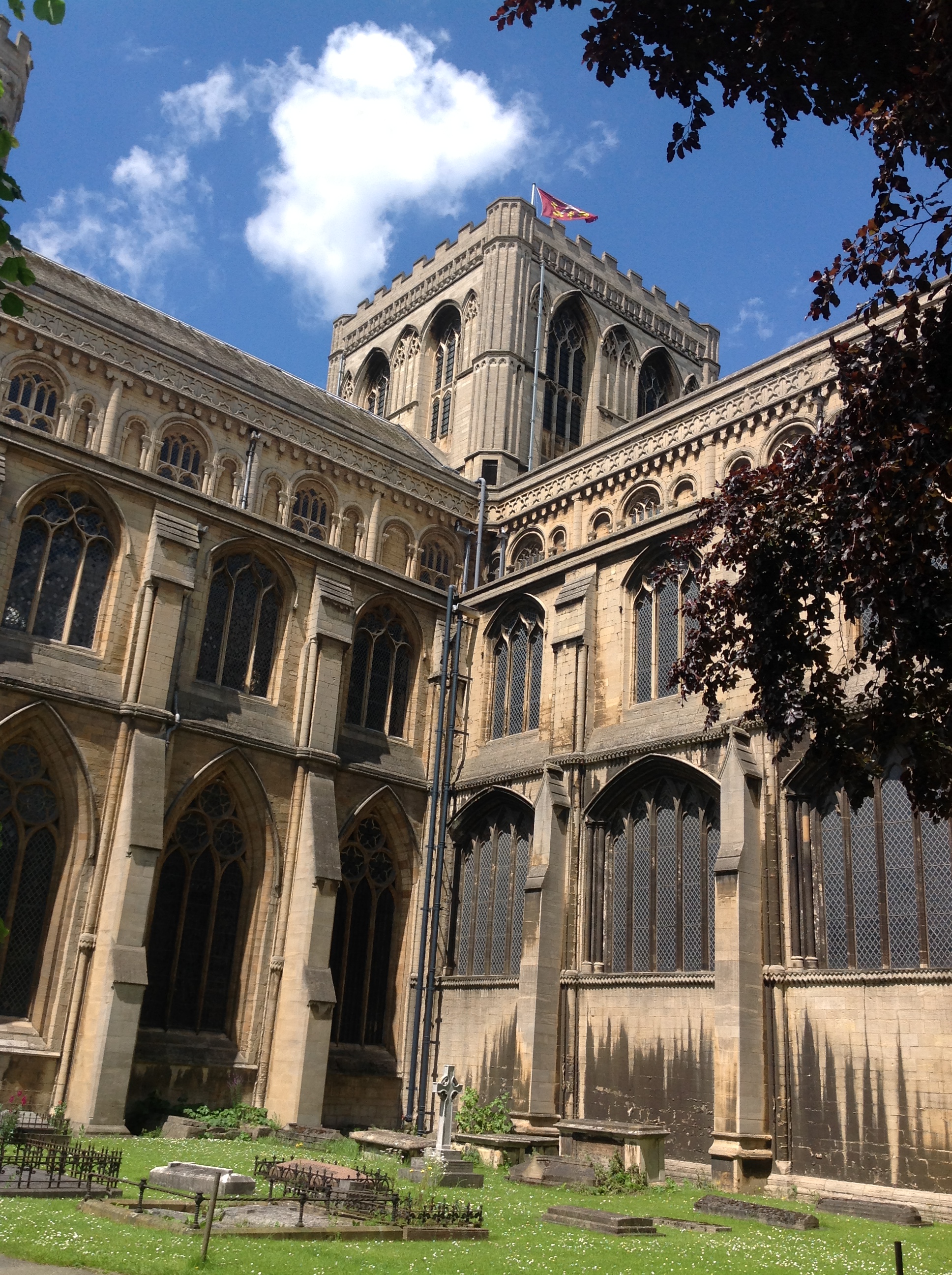 Peterborough Cathedral, properly the Cathedral Church of St Peter, St Paul and St Andrew – also known as Saint Peter's Cathedral, Peterborough , 10/06/2014 |
Class31 |
Wednesday 11th of June 2014 07:12:43 AM |