
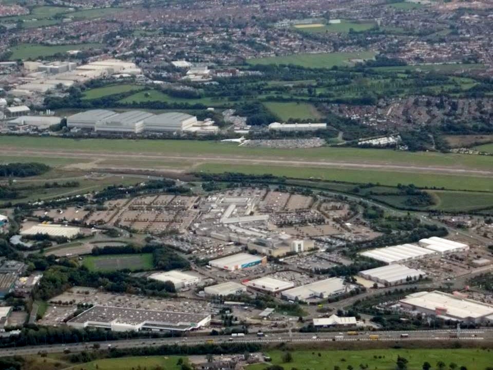
EAW047193 ENGLAND (1952). Southmead Hospital and environs, Bristol, 1952. This image was marked by Aerofilms Ltd for photo editing.

© Copyright OpenStreetMap contributors and licensed by the OpenStreetMap Foundation. 2025. Cartography is licensed as CC BY-SA.
Nearby Images (5)
EAW047193

EAW047191

EAW047190

EAW047192

EAW047194

Details
| Title | [EAW047193] Southmead Hospital and environs, Bristol, 1952. This image was marked by Aerofilms Ltd for photo editing. |
| Reference | EAW047193 |
| Date | 9-October-1952 |
| Link | |
| Place name | BRISTOL |
| Parish | |
| District | |
| Country | ENGLAND |
| Easting / Northing | 359068, 177831 |
| Longitude / Latitude | -2.5897160717302, 51.497451857767 |
| National Grid Reference | ST591778 |
Pins

User Comment Contributions
 An aerial view of the Aircraft Assembly Hall(Brabazon Hangar) from the north, 9th October 2013. Courtesy Con Shields |
 Class31 |
Wednesday 7th of October 2015 08:42:29 AM |
 An aerial view of the Aircraft Assembly Hall(Brabazon Hangar) from the north, 9th October 2013. Courtesy Con Shields |
Class31 |
Wednesday 7th of October 2015 08:42:07 AM |