
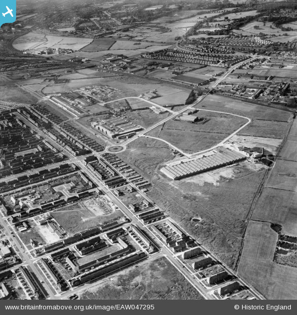
EAW047295 ENGLAND (1952). Speke Industrial Estate and environs, Speke, 1952
© Copyright OpenStreetMap contributors and licensed by the OpenStreetMap Foundation. 2025. Cartography is licensed as CC BY-SA.
Nearby Images (7)
EAW047295

EAW047294

EAW003054

EAW003052

EAW003055

EAW003056

EPW057871

Details
| Title | [EAW047295] Speke Industrial Estate and environs, Speke, 1952 |
| Reference | EAW047295 |
| Date | 4-October-1952 |
| Link | |
| Place name | SPEKE |
| Parish | |
| District | |
| Country | ENGLAND |
| Easting / Northing | 343636, 383885 |
| Longitude / Latitude | -2.8467957080799, 53.348580861131 |
| National Grid Reference | SJ436839 |
Pins
 Hamilton163 |
Friday 17th of July 2015 09:57:51 PM | |
Hamilton163 |
Friday 17th of July 2015 09:53:28 PM | |
Hamilton163 |
Friday 17th of July 2015 09:52:36 PM | |
Hamilton163 |
Friday 17th of July 2015 09:49:13 PM | |
Hamilton163 |
Friday 17th of July 2015 09:47:54 PM | |
Hamilton163 |
Friday 17th of July 2015 09:47:29 PM | |
Hamilton163 |
Friday 17th of July 2015 09:46:56 PM |