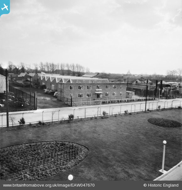
EAW047670 ENGLAND (1952). Feltham, The National Fire Protection Co. Ltd buildings, 1952
© Copyright OpenStreetMap contributors and licensed by the OpenStreetMap Foundation. 2025. Cartography is licensed as CC BY-SA.
Nearby Images (11)
Details
| Title | [EAW047670] Feltham, The National Fire Protection Co. Ltd buildings, 1952 |
| Reference | EAW047670 |
| Date | 3-November-1952 |
| Link | |
| Place name | FELTHAM |
| Parish | FELTHAM |
| District | |
| Country | ENGLAND |
| Easting / Northing | 510545, 174638 |
| Longitude / Latitude | -0.40863923427789, 51.459422015746 |
| National Grid Reference | TQ105746 |
Pins
Be the first to add a comment to this image!


![[EAW047670] Feltham, The National Fire Protection Co. Ltd buildings, 1952](http://britainfromabove.org.uk/sites/all/libraries/aerofilms-images/public/100x100/EAW/047/EAW047670.jpg)
![[EAW047671] Feltham, The National Fire Protection Co. Ltd buildings, 1952. This image was marked by Aerofilms Ltd for photo editing.](http://britainfromabove.org.uk/sites/all/libraries/aerofilms-images/public/100x100/EAW/047/EAW047671.jpg)
![[EAW047673] Feltham, The National Fire Protection Co. Ltd buildings, 1952. This image was marked by Aerofilms Ltd for photo editing.](http://britainfromabove.org.uk/sites/all/libraries/aerofilms-images/public/100x100/EAW/047/EAW047673.jpg)
![[EAW047674] Feltham, The National Fire Protection Co. Ltd buildings, 1952. This image was marked by Aerofilms Ltd for photo editing.](http://britainfromabove.org.uk/sites/all/libraries/aerofilms-images/public/100x100/EAW/047/EAW047674.jpg)
![[EAW047672] Feltham, The National Fire Protection Co. Ltd buildings, 1952. This image was marked by Aerofilms Ltd for photo editing.](http://britainfromabove.org.uk/sites/all/libraries/aerofilms-images/public/100x100/EAW/047/EAW047672.jpg)
![[EAW047678] Feltham, Mackay Industrial Equipment Ltd, 1952. This image was marked by Aerofilms Ltd for photo editing.](http://britainfromabove.org.uk/sites/all/libraries/aerofilms-images/public/100x100/EAW/047/EAW047678.jpg)
![[EAW047676] Feltham, Mackay Industrial Equipment Ltd, 1952. This image was marked by Aerofilms Ltd for photo editing.](http://britainfromabove.org.uk/sites/all/libraries/aerofilms-images/public/100x100/EAW/047/EAW047676.jpg)
![[EAW047675] Feltham, Mackay Industrial Equipment Ltd, 1952. This image was marked by Aerofilms Ltd for photo editing.](http://britainfromabove.org.uk/sites/all/libraries/aerofilms-images/public/100x100/EAW/047/EAW047675.jpg)
![[EAW047677] Feltham, Mackay Industrial Equipment Ltd, 1952. This image was marked by Aerofilms Ltd for photo editing.](http://britainfromabove.org.uk/sites/all/libraries/aerofilms-images/public/100x100/EAW/047/EAW047677.jpg)
![[EPW053972] The Minimax Fire Extinguisher Works and Staines Road, North Feltham, 1937](http://britainfromabove.org.uk/sites/all/libraries/aerofilms-images/public/100x100/EPW/053/EPW053972.jpg)
![[EPW053971] The Minimax Fire Extinguisher Works and Staines Road, North Feltham, 1937](http://britainfromabove.org.uk/sites/all/libraries/aerofilms-images/public/100x100/EPW/053/EPW053971.jpg)