
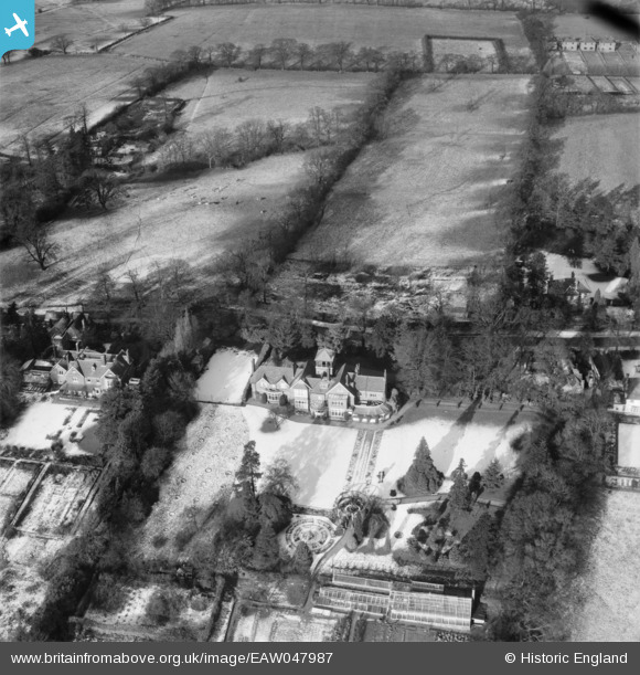
EAW047987 ENGLAND (1952). The Chantry on Barnet Lane, Elstree, 1952
© Copyright OpenStreetMap contributors and licensed by the OpenStreetMap Foundation. 2025. Cartography is licensed as CC BY-SA.
Nearby Images (5)
EAW047987

EAW021436

EAW021435

EAW047986

EAW023707

Details
| Title | [EAW047987] The Chantry on Barnet Lane, Elstree, 1952 |
| Reference | EAW047987 |
| Date | 28-November-1952 |
| Link | |
| Place name | ELSTREE |
| Parish | ELSTREE AND BOREHAMWOOD |
| District | |
| Country | ENGLAND |
| Easting / Northing | 518784, 195205 |
| Longitude / Latitude | -0.28314227256375, 51.642617299744 |
| National Grid Reference | TQ188952 |
Pins
Be the first to add a comment to this image!