
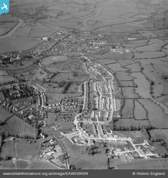
EAW049068 ENGLAND (1953). Prior's Park, Tewkesbury, 1953
© Copyright OpenStreetMap contributors and licensed by the OpenStreetMap Foundation. 2025. Cartography is licensed as CC BY-SA.
Nearby Images (2)
EAW049068

EAW049070

Details
| Title | [EAW049068] Prior's Park, Tewkesbury, 1953 |
| Reference | EAW049068 |
| Date | 5-May-1953 |
| Link | |
| Place name | TEWKESBURY |
| Parish | TEWKESBURY |
| District | |
| Country | ENGLAND |
| Easting / Northing | 389513, 232056 |
| Longitude / Latitude | -2.1527277265831, 51.98643375533 |
| National Grid Reference | SO895321 |
Pins
Be the first to add a comment to this image!