
EAW049862 ENGLAND (1953). The River Hamble, waterfront and village, Hamble-le-Rice, 1953

© Copyright OpenStreetMap contributors and licensed by the OpenStreetMap Foundation. 2025. Cartography is licensed as CC BY-SA.
Nearby Images (12)
EAW049862

EAW049868

EAW049865

EAW049857

EAW049867

EAW049859

EAW049861

EAW049866

EAW049864

EAW049872

EAW049863

EAW049856

Details
| Title | [EAW049862] The River Hamble, waterfront and village, Hamble-le-Rice, 1953 |
| Reference | EAW049862 |
| Date | 9-June-1953 |
| Link | |
| Place name | HAMBLE-LE-RICE |
| Parish | HAMBLE-LE-RICE |
| District | |
| Country | ENGLAND |
| Easting / Northing | 448508, 107121 |
| Longitude / Latitude | -1.3106912994432, 50.861003938036 |
| National Grid Reference | SU485071 |
Pins
 redmist |
Wednesday 26th of July 2023 08:05:59 PM | |
redmist |
Wednesday 26th of July 2023 08:02:14 PM | |
redmist |
Wednesday 26th of July 2023 08:01:32 PM | |
 Class31 |
Saturday 21st of March 2015 10:26:40 AM | |
Class31 |
Saturday 21st of March 2015 10:05:30 AM |

User Comment Contributions
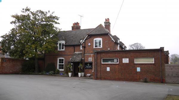
 The Square, Hamble, 20/03/2015 |
Class31 |
Saturday 21st of March 2015 10:27:09 AM |