
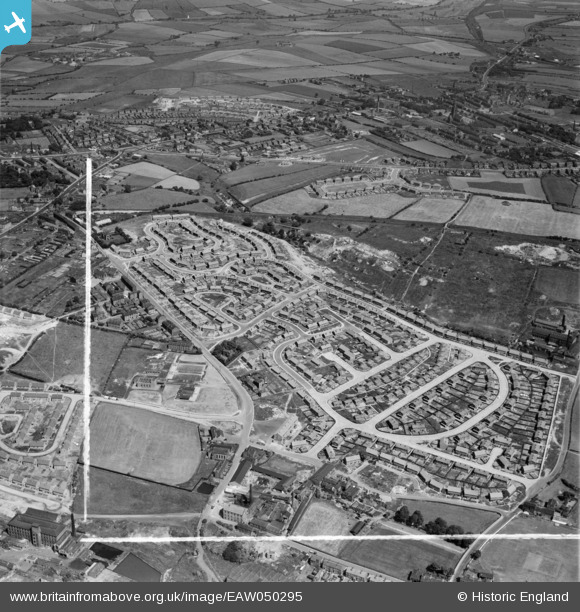
EAW050295 ENGLAND (1953). Council estate at Chickenley, Dewsbury, 1953. This image was marked by Aerofilms Ltd for photo editing.
© Copyright OpenStreetMap contributors and licensed by the OpenStreetMap Foundation. 2025. Cartography is licensed as CC BY-SA.
Nearby Images (8)
EAW050295

EAW050297

EAW050301

EAW050298

EAW050294

EAW050299

EAW050307

EAW050308

Details
| Title | [EAW050295] Council estate at Chickenley, Dewsbury, 1953. This image was marked by Aerofilms Ltd for photo editing. |
| Reference | EAW050295 |
| Date | 3-July-1953 |
| Link | |
| Place name | DEWSBURY |
| Parish | |
| District | |
| Country | ENGLAND |
| Easting / Northing | 426694, 421275 |
| Longitude / Latitude | -1.5957519622162, 53.687017705399 |
| National Grid Reference | SE267213 |
Pins
 DKW |
Tuesday 22nd of June 2021 09:03:30 PM | |
DKW |
Tuesday 22nd of June 2021 08:48:45 PM | |
DKW |
Tuesday 22nd of June 2021 08:43:53 PM | |
DKW |
Tuesday 22nd of June 2021 08:39:24 PM | |
DKW |
Tuesday 22nd of June 2021 08:37:22 PM |