
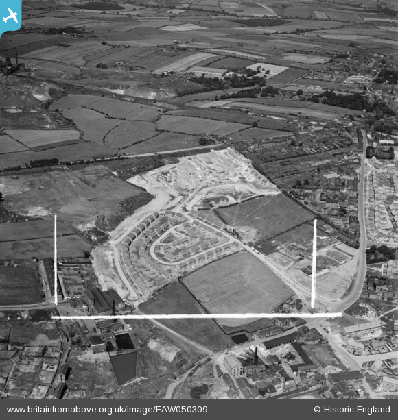
EAW050309 ENGLAND (1953). Housing estate under construction to the south of Wakefield Road, Dewsbury, 1953. This image was marked by Aerofilms Ltd for photo editing.
© Copyright OpenStreetMap contributors and licensed by the OpenStreetMap Foundation. 2025. Cartography is licensed as CC BY-SA.
Nearby Images (8)
EAW050309

EAW050306

EAW050304

EAW050302

EAW050303

EAW050305

EAW050307

EAW050308

Details
| Title | [EAW050309] Housing estate under construction to the south of Wakefield Road, Dewsbury, 1953. This image was marked by Aerofilms Ltd for photo editing. |
| Reference | EAW050309 |
| Date | 3-July-1953 |
| Link | |
| Place name | DEWSBURY |
| Parish | |
| District | |
| Country | ENGLAND |
| Easting / Northing | 426397, 421587 |
| Longitude / Latitude | -1.6002229783795, 53.689837354389 |
| National Grid Reference | SE264216 |
Pins
 richard7356 |
Thursday 29th of October 2015 02:47:27 PM |
User Comment Contributions
This is Chickenley. |
richard7356 |
Thursday 29th of October 2015 03:02:33 PM |