
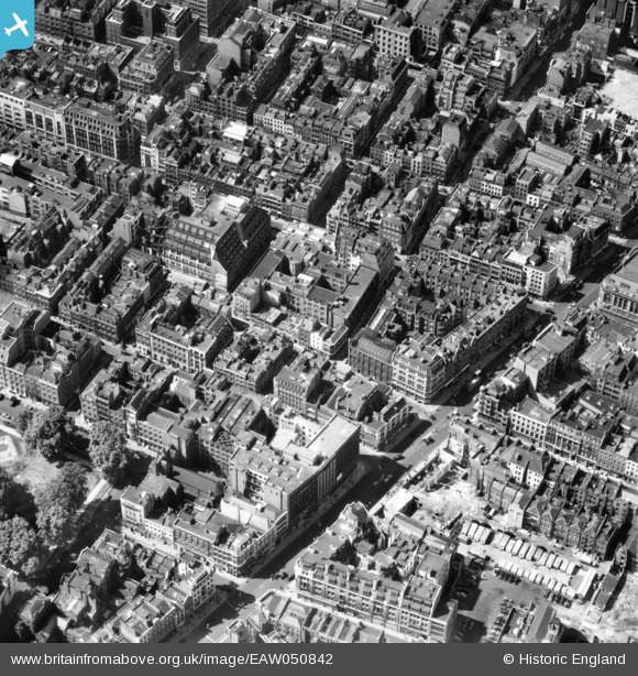
EAW050842 ENGLAND (1953). Oxford Street, Wardour Street and environs, Westminster, 1953
© Copyright OpenStreetMap contributors and licensed by the OpenStreetMap Foundation. 2025. Cartography is licensed as CC BY-SA.
Nearby Images (18)
EAW050842

EAW050835

EAW050862

EAW052491

EAW050855

EAW050860

EAW050851

EAW052492

EAW050863

EAW052490

EAW050849

EAW052489

EAW050864

EAW050858

EAW052493

EAW050857

EPW060778

EAW050848

Details
| Title | [EAW050842] Oxford Street, Wardour Street and environs, Westminster, 1953 |
| Reference | EAW050842 |
| Date | 23-July-1953 |
| Link | |
| Place name | WESTMINSTER |
| Parish | |
| District | |
| Country | ENGLAND |
| Easting / Northing | 529535, 181254 |
| Longitude / Latitude | -0.13298355951882, 51.514857419363 |
| National Grid Reference | TQ295813 |
Pins
 RichardWW |
Friday 7th of February 2025 12:39:03 PM | |
Robin |
Thursday 20th of September 2018 01:55:13 PM | |
 Class31 |
Saturday 13th of September 2014 07:41:24 PM | |
Class31 |
Saturday 13th of September 2014 07:40:28 PM | |
Class31 |
Saturday 13th of September 2014 07:38:55 PM | |
Class31 |
Saturday 13th of September 2014 07:36:00 PM |


