
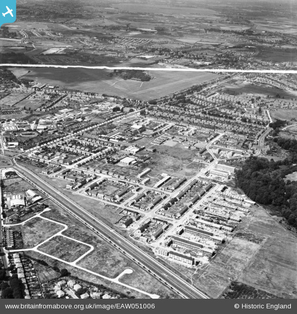
EAW051006 ENGLAND (1953). The Butts Farm Estate and environs, Hanworth, 1953. This image was marked by Aerofilms Ltd for photo editing.
© Copyright OpenStreetMap contributors and licensed by the OpenStreetMap Foundation. 2025. Cartography is licensed as CC BY-SA.
Nearby Images (8)
EAW051006

EAW051002

EAW051552

EAW051005

EAW051008

EAW051009

EAW051546

EAW051549

Details
| Title | [EAW051006] The Butts Farm Estate and environs, Hanworth, 1953. This image was marked by Aerofilms Ltd for photo editing. |
| Reference | EAW051006 |
| Date | 3-August-1953 |
| Link | |
| Place name | HANWORTH |
| Parish | |
| District | |
| Country | ENGLAND |
| Easting / Northing | 512639, 172491 |
| Longitude / Latitude | -0.37919137412704, 51.439709776038 |
| National Grid Reference | TQ126725 |
Pins
 Brian |
Tuesday 10th of February 2015 04:22:38 PM | |
Brian |
Tuesday 10th of February 2015 04:16:18 PM | |
Brian |
Tuesday 10th of February 2015 04:14:43 PM |