
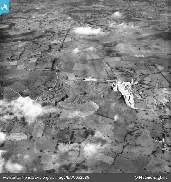
EAW052085 ENGLAND (1953). The Caldonlow Quarries, Cauldon, 1953
© Copyright OpenStreetMap contributors and licensed by the OpenStreetMap Foundation. 2025. Cartography is licensed as CC BY-SA.
Nearby Images (3)
EAW052085

EAW052083

EAW052084

Details
| Title | [EAW052085] The Caldonlow Quarries, Cauldon, 1953 |
| Reference | EAW052085 |
| Date | 7-September-1953 |
| Link | |
| Place name | CAULDON |
| Parish | WATERHOUSES |
| District | |
| Country | ENGLAND |
| Easting / Northing | 407705, 348624 |
| Longitude / Latitude | -1.885086337699, 53.034535698394 |
| National Grid Reference | SK077486 |
Pins
Be the first to add a comment to this image!