
EAW052356 ENGLAND (1953) [Unlocated]. UNLOCATED
© Copyright OpenStreetMap contributors and licensed by the OpenStreetMap Foundation. 2025. Cartography is licensed as CC BY-SA.
Nearby Images (48)
EPW000143

EPW000667

EPW005260

EPW006389
, 1921")
EPW007181

EPW015853

EPW015854

EPW015855

EPW016012

EPW016510

EPW016641

EPW017028

EPW017029

EPW017136

SAW003585

SAW003586

SAW009337

SAW009800

SAW009801

SAW009802

SAW010734

SAW014737

SAW017926

SAW017927

SAW032504

SPW020275

SPW020280

SPW020281

SPW020284

SPW020632

SPW020633

SPW027083

SPW049776

SPW049777

SPW049779

SPW049783

SPW049791

SPW049798

SPW049801

SPW049827

SPW049828

SPW049831

SPW049832

SPW049834

SPW049948

SPW049949

SPW051009

SPW062638

Details
| Title | [EAW052356] UNLOCATED |
| Reference | EAW052356 |
| Date | 10-September-1953 |
| Link | |
| Place name | |
| Parish | |
| District | |
| Country | ENGLAND |
| Easting / Northing | 0, 0 |
| Longitude / Latitude | -7.556448482059, 49.766185796754 |
| National Grid Reference | SV000000 |
Pins
 Dave Brunt |
Thursday 15th of October 2015 06:22:48 PM | |
Dave Brunt |
Thursday 15th of October 2015 06:18:34 PM |
User Comment Contributions
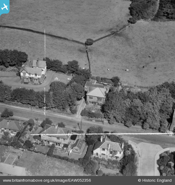
A brilliant spot of this group of unidentified photographs by Dave Brunt at Newchurch Road, Rossendale. Well done! |
 Class31 |
Friday 16th of October 2015 06:56:48 AM |
EAW052356 EAW052357 EAW052358 EAW052359 EAW052360 EAW052361 EAW052362 EAW052363 are all of the same area on the same day. |
Class31 |
Monday 3rd of November 2014 05:18:30 PM |