
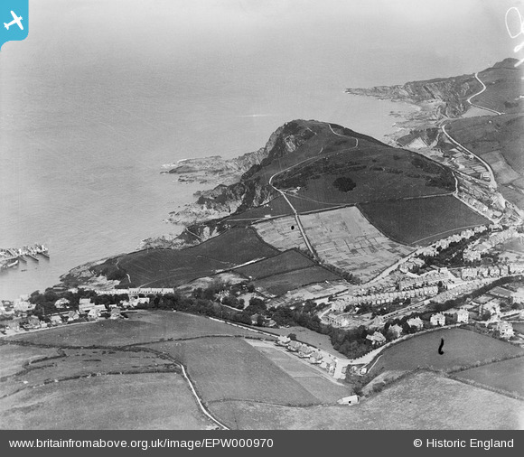
EPW000970 ENGLAND (1920). Hillsborough Fort and Chambercombe, Chambercombe, 1920
© Copyright OpenStreetMap contributors and licensed by the OpenStreetMap Foundation. 2025. Cartography is licensed as CC BY-SA.
Nearby Images (2)
EPW000970

EPW000960

Details
| Title | [EPW000970] Hillsborough Fort and Chambercombe, Chambercombe, 1920 |
| Reference | EPW000970 |
| Date | May-1920 |
| Link | |
| Place name | CHAMBERCOMBE |
| Parish | ILFRACOMBE |
| District | |
| Country | ENGLAND |
| Easting / Northing | 252948, 147671 |
| Longitude / Latitude | -4.1054301031749, 51.20877183993 |
| National Grid Reference | SS529477 |
Pins
Be the first to add a comment to this image!