
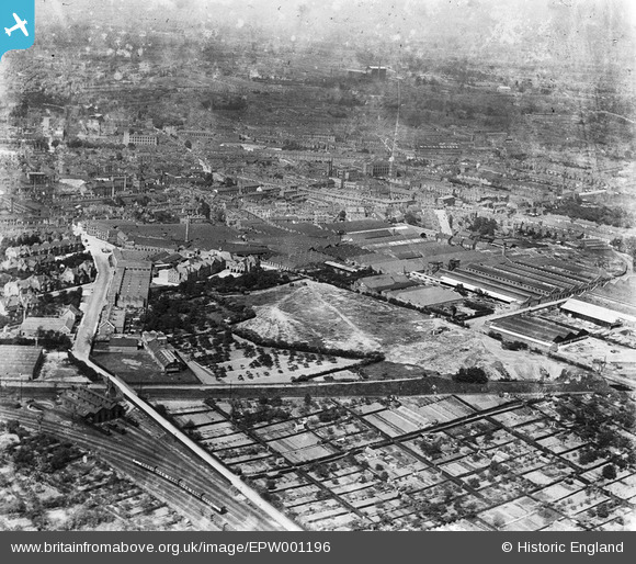
EPW001196 ENGLAND (1920). Works in the Mile Lane and Quinton Road area, Coventry, 1920
© Copyright OpenStreetMap contributors and licensed by the OpenStreetMap Foundation. 2025. Cartography is licensed as CC BY-SA.
Nearby Images (25)
EPW001196

EAW016165

EAW016176

EAW016174

EAW016163

EAW016175

EAW016166

EAW016168

EAW016164

EAW016167

EPW031348
 and environs, Cheylesmore, 1930")
EPW031349
 and environs, Cheylesmore, 1930")
EPW031328
 and environs, Cheylesmore, 1930")
EPW031327
 and environs, Cheylesmore, 1930")
EPW031324
, Cheylesmore, 1930")
EPW061112

EPW021003

EPW031326
 and environs, Cheylesmore, 1930")
EPW019272
, Cheylesmore, 1927")
EAW016173

EPW031325
 and environs, Cheylesmore, 1930")
EPW010513

EPW010512

EPW010572

EAW016162

Details
| Title | [EPW001196] Works in the Mile Lane and Quinton Road area, Coventry, 1920 |
| Reference | EPW001196 |
| Date | May-1920 |
| Link | |
| Place name | COVENTRY |
| Parish | |
| District | |
| Country | ENGLAND |
| Easting / Northing | 433732, 278331 |
| Longitude / Latitude | -1.5041439436985, 52.401571985714 |
| National Grid Reference | SP337783 |
Pins
 JG |
Thursday 28th of August 2014 03:52:00 PM | |
JG |
Monday 10th of February 2014 10:36:12 PM | |
went to the school 1960 from the picture had nt changed atall |
tim |
Monday 24th of March 2014 10:16:13 PM |
dutchman |
Wednesday 22nd of May 2013 02:23:44 PM | |
Midland Red |
Tuesday 21st of May 2013 09:38:21 PM | |
Midland Red |
Tuesday 21st of May 2013 09:37:59 PM | |
Midland Red |
Tuesday 21st of May 2013 09:37:21 PM | |
Midland Red |
Tuesday 21st of May 2013 09:36:57 PM | |
Midland Red |
Tuesday 21st of May 2013 09:36:09 PM |