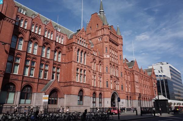
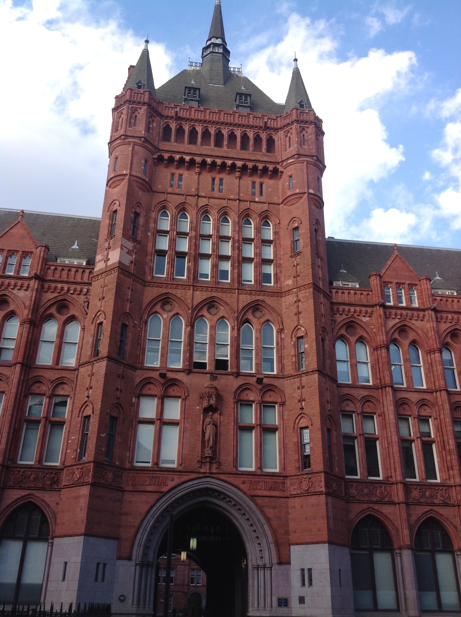
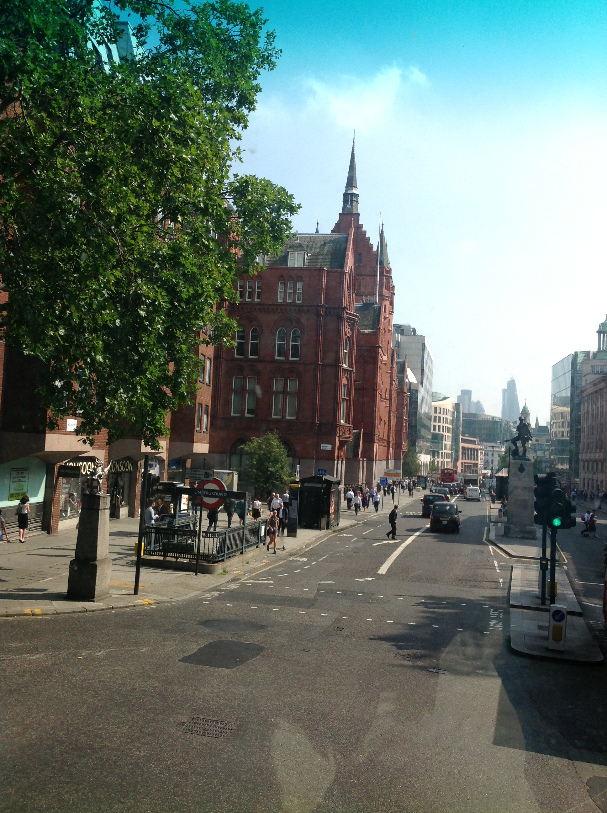
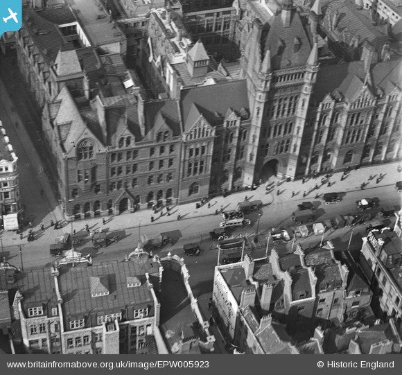
EPW005923 ENGLAND (1921). The Prudential Assurance Building, Holborn, 1921
© Copyright OpenStreetMap contributors and licensed by the OpenStreetMap Foundation. 2025. Cartography is licensed as CC BY-SA.
Nearby Images (24)
EPW005923

EAW010047

EAW010043

EAW010042

EAW010044

EAW010045

EAW010046

EPW005998

EAW010068

EAW011187

EAW010041

EAW043627

EAW020406

EAW043629

EAW010040

EAW010048

EPW005904

EAW010039

EPW005133

EAW043626

EAW018344

EPW021402

EAW018707

EAW018706

Details
| Title | [EPW005923] The Prudential Assurance Building, Holborn, 1921 |
| Reference | EPW005923 |
| Date | March-1921 |
| Link | |
| Place name | HOLBORN |
| Parish | |
| District | |
| Country | ENGLAND |
| Easting / Northing | 531216, 181610 |
| Longitude / Latitude | -0.10863648709578, 51.517668994196 |
| National Grid Reference | TQ312816 |
Pins
 billyfern |
Monday 30th of June 2014 03:45:20 PM | |
billyfern |
Monday 30th of June 2014 03:44:47 PM | |
billyfern |
Monday 30th of June 2014 03:43:19 PM | |
 Alan McFaden |
Thursday 22nd of August 2013 04:36:33 PM | |
Survey of London historian |
Monday 18th of March 2013 09:04:58 PM | |
EZTD |
Tuesday 10th of July 2012 01:35:09 PM |