
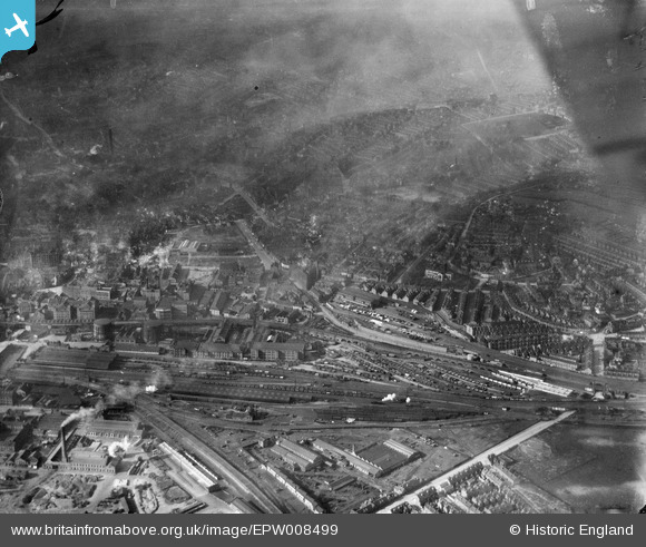
EPW008499 ENGLAND (1923). Manvers Street Goods Station and environs, Nottingham, 1923
© Copyright OpenStreetMap contributors and licensed by the OpenStreetMap Foundation. 2025. Cartography is licensed as CC BY-SA.
Nearby Images (8)
EPW008499

EPW008486

EPW008500

EPW008498

EPW008494

EPW008497

EPW008496

EPW008495

Details
| Title | [EPW008499] Manvers Street Goods Station and environs, Nottingham, 1923 |
| Reference | EPW008499 |
| Date | 1923 |
| Link | |
| Place name | NOTTINGHAM |
| Parish | |
| District | |
| Country | ENGLAND |
| Easting / Northing | 458251, 339699 |
| Longitude / Latitude | -1.1328968715926, 52.951190580302 |
| National Grid Reference | SK583397 |
Pins
 Paul Wentworth |
Monday 20th of March 2023 10:03:24 AM |