
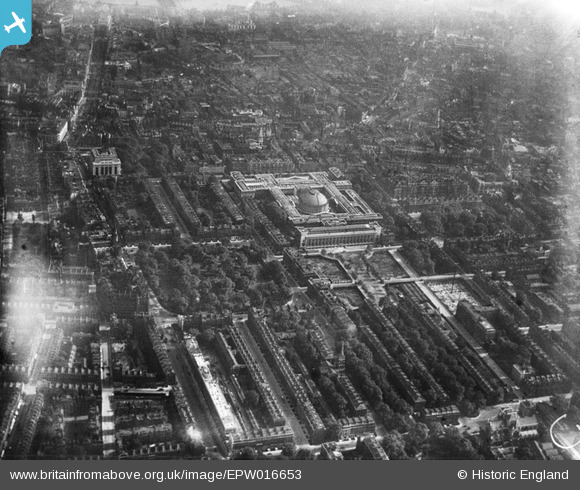
EPW016653 ENGLAND (1926). The British Museum and environs, Bloomsbury, 1926
© Copyright OpenStreetMap contributors and licensed by the OpenStreetMap Foundation. 2025. Cartography is licensed as CC BY-SA.
Nearby Images (23)
EPW016653

EPW024279

EPW060553

EPW019025

EPW016654

EPW060556

EPW006680

EPW020959

EPW060555

EPW060557

EAW041950

EPW060554

EPW039568

EPW039567

EAW000479

EPW008741

EAW000478

EPW005920

EAW030117

EPW020960

EPW005967

EPW045404

EAW041945

Details
| Title | [EPW016653] The British Museum and environs, Bloomsbury, 1926 |
| Reference | EPW016653 |
| Date | August-1926 |
| Link | |
| Place name | BLOOMSBURY |
| Parish | |
| District | |
| Country | ENGLAND |
| Easting / Northing | 530040, 181835 |
| Longitude / Latitude | -0.12549465014661, 51.519963214595 |
| National Grid Reference | TQ300818 |
Pins
 Dave |
Wednesday 27th of January 2016 06:17:34 AM | |
 Alan McFaden |
Wednesday 24th of December 2014 07:46:11 PM | |
Alan McFaden |
Tuesday 14th of October 2014 04:38:03 PM | |
Alan McFaden |
Thursday 25th of July 2013 05:13:38 PM | |
Alan McFaden |
Thursday 25th of July 2013 05:12:32 PM | |
Alan McFaden |
Thursday 25th of July 2013 05:11:52 PM | |
Alan McFaden |
Thursday 25th of July 2013 05:11:15 PM |


