
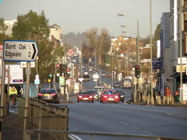
EPW017585 ENGLAND (1927). New housing beside the Edgware Road, Burnt Oak, from the south-east, 1927

© Copyright OpenStreetMap contributors and licensed by the OpenStreetMap Foundation. 2025. Cartography is licensed as CC BY-SA.
Nearby Images (32)
EPW017585

EPR000508

EAW013883

EAW013887

EPW024761

EPW019301

EPW019298

EPW019303

EPW019296

EPW019300

EAW013877

EAW013891

EAW013885

EAW013880

EPW024932

EAW013890

EAW013886

EPW055945

EAW013878

EAW013879

EPW019304

EPW019297

EAW013884

EAW044039

EAW013888

EPW055948

EAW013889

EPW019299

EPW012748

EAW051382

EPW020844

EPW034540

Details
| Title | [EPW017585] New housing beside the Edgware Road, Burnt Oak, from the south-east, 1927 |
| Reference | EPW017585 |
| Date | April-1927 |
| Link | |
| Place name | BURNT OAK |
| Parish | |
| District | |
| Country | ENGLAND |
| Easting / Northing | 520660, 189827 |
| Longitude / Latitude | -0.25789305409439, 51.593879519135 |
| National Grid Reference | TQ207898 |
Pins
 Mark Amies |
Monday 7th of February 2022 09:58:55 AM | |
Mark Amies |
Monday 7th of February 2022 09:56:44 AM | |
Gazza |
Wednesday 2nd of December 2020 03:54:42 PM | |
Gazza |
Wednesday 2nd of December 2020 03:52:42 PM | |
bazouteast |
Thursday 9th of November 2017 05:41:39 PM | |
bazouteast |
Thursday 9th of November 2017 05:41:10 PM | |
John Wass |
Saturday 19th of July 2014 04:10:56 PM | |
 |
Katy Whitaker |
Wednesday 29th of January 2014 05:10:23 PM |