
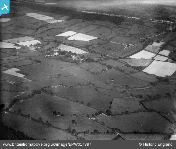
EPW017897 ENGLAND (1927). Countryside around Coley Brook, Rushbury, from the north-west, 1927
© Copyright OpenStreetMap contributors and licensed by the OpenStreetMap Foundation. 2025. Cartography is licensed as CC BY-SA.
Nearby Images (2)
EPW017897

EPW017906

Details
| Title | [EPW017897] Countryside around Coley Brook, Rushbury, from the north-west, 1927 |
| Reference | EPW017897 |
| Date | 11-May-1927 |
| Link | |
| Place name | RUSHBURY |
| Parish | RUSHBURY |
| District | |
| Country | ENGLAND |
| Easting / Northing | 350638, 291790 |
| Longitude / Latitude | -2.7275902770522, 52.521385803947 |
| National Grid Reference | SO506918 |
Pins

User Comment Contributions
See also EPW017891 to EPW017905 (excluding EPW017903) |
 BigglesH |
Monday 23rd of July 2012 07:27:28 PM |