
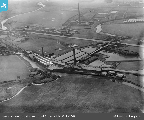
EPW019159 ENGLAND (1927). The Hampson Bleach Mill and environs, Bury, 1927
© Copyright OpenStreetMap contributors and licensed by the OpenStreetMap Foundation. 2025. Cartography is licensed as CC BY-SA.
Nearby Images (6)
EPW019159

EPW019131

EPW019132

EPW019160

EPW019158

EPW019161

Details
| Title | [EPW019159] The Hampson Bleach Mill and environs, Bury, 1927 |
| Reference | EPW019159 |
| Date | August-1927 |
| Link | |
| Place name | BURY |
| Parish | |
| District | |
| Country | ENGLAND |
| Easting / Northing | 380772, 408286 |
| Longitude / Latitude | -2.2903837882479, 53.57058581382 |
| National Grid Reference | SD808083 |
Pins
 Mark 72 |
Wednesday 8th of March 2017 12:07:14 AM |