
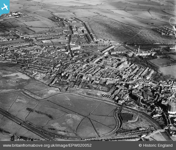
EPW020052 ENGLAND (1927). The Town Centre, Stafford, from the south-west, 1927
© Copyright OpenStreetMap contributors and licensed by the OpenStreetMap Foundation. 2025. Cartography is licensed as CC BY-SA.
Nearby Images (19)
EPW020052

EAW024969

EAW024966

EAW024959

EAW024964

EAW024965

EAW024961
, Stafford, 1949. This image has been produced from a damaged negative.")
EAW024963

EAW024962
, Stafford, 1949. This image has been produced from a damaged negative.")
EPW034019

EAW024967

EPW056772

EPW056774

EAW024968

EPW056776

EPW056773

EPW056778

EPW056775

EPW017027

Details
| Title | [EPW020052] The Town Centre, Stafford, from the south-west, 1927 |
| Reference | EPW020052 |
| Date | October-1927 |
| Link | |
| Place name | STAFFORD |
| Parish | |
| District | |
| Country | ENGLAND |
| Easting / Northing | 391861, 323675 |
| Longitude / Latitude | -2.1207607058437, 52.810229897709 |
| National Grid Reference | SJ919237 |
Pins
 iain1940 |
Saturday 19th of October 2019 07:31:01 PM | |
Fonzie-NL |
Wednesday 9th of September 2015 02:58:47 PM | |
 bescotbeast |
Sunday 15th of September 2013 02:38:46 PM | |
bescotbeast |
Sunday 15th of September 2013 02:38:25 PM | |
MB |
Friday 28th of September 2012 10:27:31 AM | |
This is the old GN railway line between Stafford and Uttoxeter. It had a junction at Bagnalls bridge with the West coast mainline. The line was double track until Stafford common and the salt works there. |
Fonzie-NL |
Tuesday 16th of July 2013 06:59:16 AM |
MB |
Friday 28th of September 2012 10:24:27 AM | |
MB |
Friday 28th of September 2012 10:23:40 AM | |
MB |
Friday 28th of September 2012 10:23:10 AM | |
MB |
Friday 28th of September 2012 10:22:48 AM | |
MB |
Friday 28th of September 2012 10:21:27 AM | |
MB |
Friday 28th of September 2012 10:20:59 AM | |
MB |
Friday 28th of September 2012 10:20:29 AM | |
MB |
Friday 28th of September 2012 10:19:56 AM | |
MB |
Friday 28th of September 2012 10:19:25 AM | |
sparky |
Tuesday 10th of July 2012 10:42:22 PM |