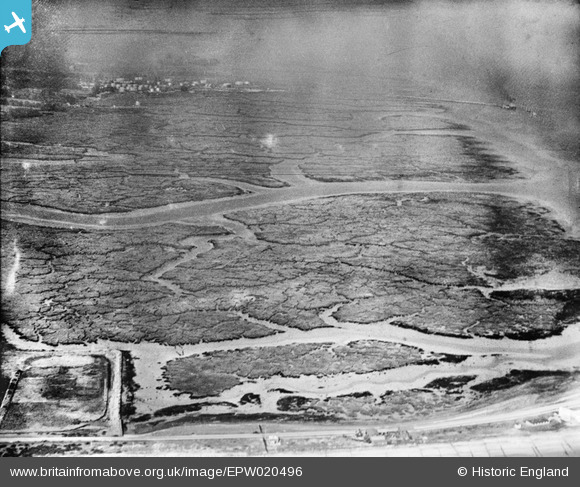
EPW020496 ENGLAND (1928). Ower Lake, Calshot, from the south-east, 1928
© Copyright OpenStreetMap contributors and licensed by the OpenStreetMap Foundation. 2025. Cartography is licensed as CC BY-SA.
Details
| Title | [EPW020496] Ower Lake, Calshot, from the south-east, 1928 |
| Reference | EPW020496 |
| Date | 16-March-1928 |
| Link | |
| Place name | CALSHOT |
| Parish | FAWLEY |
| District | |
| Country | ENGLAND |
| Easting / Northing | 448522, 101922 |
| Longitude / Latitude | -1.3111810133874, 50.814248799983 |
| National Grid Reference | SU485019 |
Pins
 Graham Yaxley |
Wednesday 17th of December 2014 03:13:01 PM |
User Comment Contributions
From Calshot looking along Southampton Water, 19/05/2016 |
 Class31 |
Monday 23rd of May 2016 10:29:04 PM |


![[EPW020496] Ower Lake, Calshot, from the south-east, 1928](http://britainfromabove.org.uk/sites/all/libraries/aerofilms-images/public/100x100/EPW/020/EPW020496.jpg)
![[EPW020493] Calshot Castle, Calshot, 1928](http://britainfromabove.org.uk/sites/all/libraries/aerofilms-images/public/100x100/EPW/020/EPW020493.jpg)