
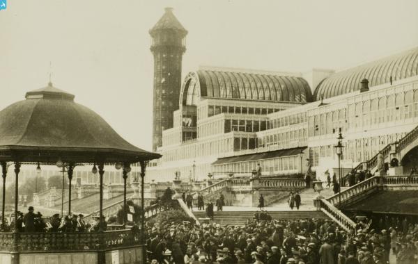
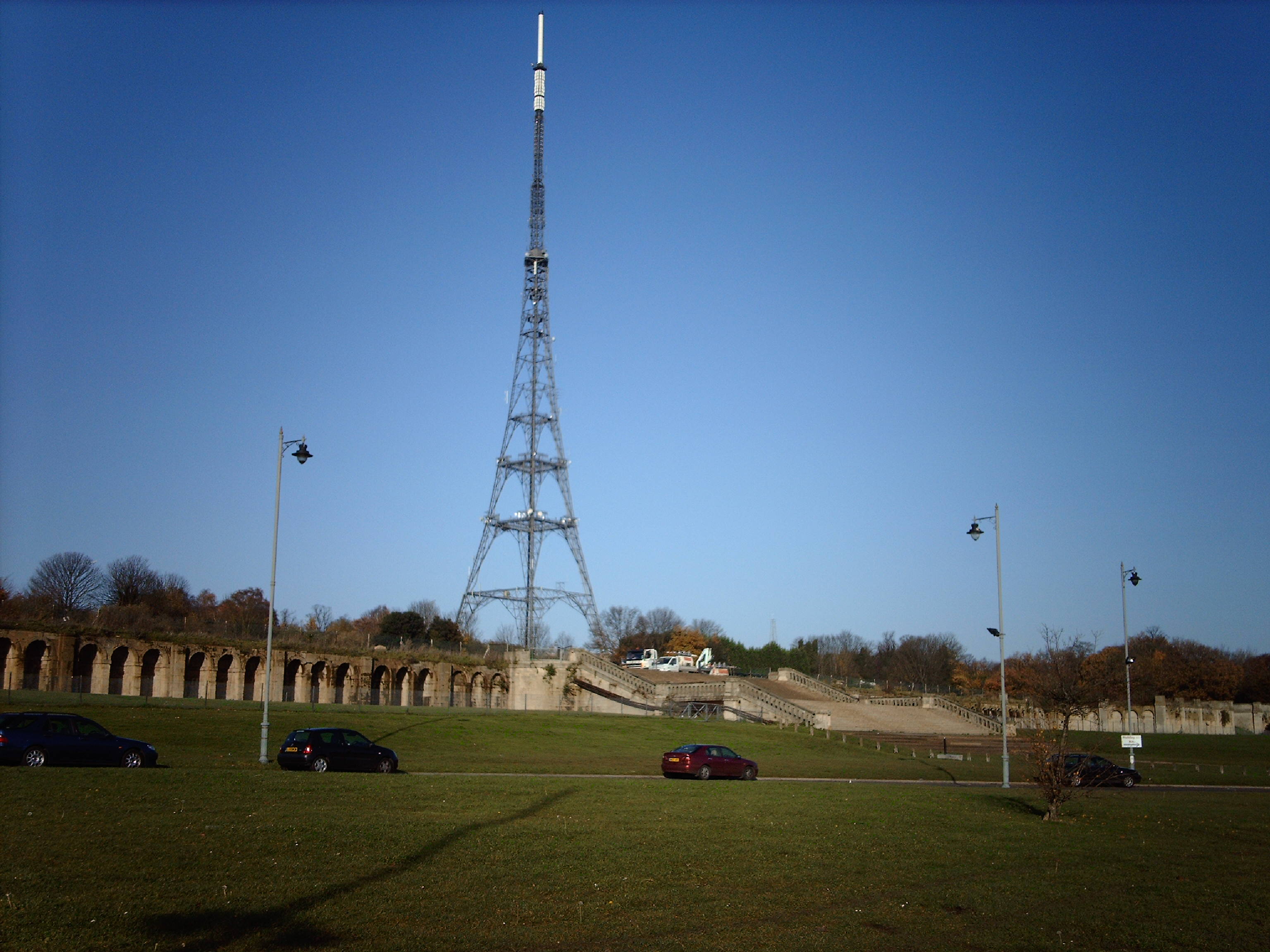
EPW021373 ENGLAND (1928). Crystal Palace, Penge, 1928

© Copyright OpenStreetMap contributors and licensed by the OpenStreetMap Foundation. 2025. Cartography is licensed as CC BY-SA.
Nearby Images (16)
EPW021373

EPW052311

EPW005592

EPW052307

EPW021374

EAW041940

EPW052306

EPW025249

EAW000569

EPW025252

EPW052309

EPW025246

EPW052310

EAW041941

EPW021375

EAW000568

Details
| Title | [EPW021373] Crystal Palace, Penge, 1928 |
| Reference | EPW021373 |
| Date | 30-May-1928 |
| Link | |
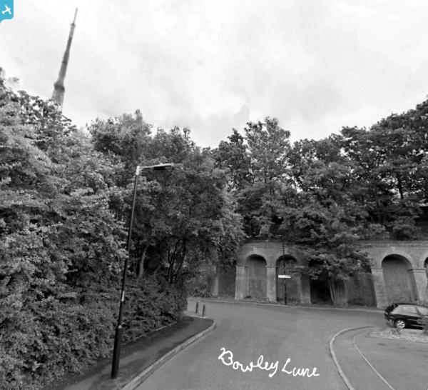
| Place name | PENGE |
| Parish | |
| District | |
| Country | ENGLAND |
| Easting / Northing | 533829, 171040 |
| Longitude / Latitude | -0.074998508737841, 51.42205839502 |
| National Grid Reference | TQ338710 |
Pins
 RichW |
Thursday 4th of June 2020 09:33:45 AM | |
RichW |
Thursday 4th of June 2020 09:28:02 AM | |
Tom Burnham |
Thursday 13th of February 2014 10:25:37 PM | |
Tom Burnham |
Thursday 13th of February 2014 10:24:07 PM | |
Tom Burnham |
Thursday 13th of February 2014 10:23:10 PM | |
Tom Burnham |
Thursday 13th of February 2014 10:22:10 PM | |
MB |
Saturday 25th of January 2014 10:19:26 AM | |
 Alan McFaden |
Sunday 27th of October 2013 01:28:13 PM | |
Alan McFaden |
Thursday 25th of April 2013 10:15:36 AM | |
Alan McFaden |
Thursday 25th of April 2013 10:12:39 AM | |
Alan McFaden |
Thursday 25th of April 2013 10:11:58 AM | |
Alan McFaden |
Thursday 25th of April 2013 10:09:41 AM | |
Alan McFaden |
Thursday 25th of April 2013 10:08:58 AM | |
Alan McFaden |
Thursday 25th of April 2013 10:08:09 AM | |
Alan McFaden |
Thursday 25th of April 2013 10:07:15 AM | |
Alan McFaden |
Thursday 25th of April 2013 10:05:33 AM | |
Alan McFaden |
Thursday 25th of April 2013 10:04:32 AM | |
Alan McFaden |
Thursday 25th of April 2013 10:03:43 AM | |
Alan McFaden |
Thursday 25th of April 2013 10:02:13 AM | |
MB |
Tuesday 5th of February 2013 10:41:49 AM | |
MB |
Tuesday 5th of February 2013 10:40:35 AM | |
Allen T |
Thursday 20th of September 2012 07:44:01 PM | |
 |
Toplotdog |
Thursday 28th of June 2012 03:17:46 PM |
LenP |
Wednesday 27th of June 2012 11:28:18 PM | |
LenP |
Wednesday 27th of June 2012 11:27:02 PM | |
LenP |
Wednesday 27th of June 2012 11:26:55 PM | |
Toplotdog |
Wednesday 27th of June 2012 03:43:57 PM | |
Toplotdog |
Wednesday 27th of June 2012 03:42:32 PM | |
Toplotdog |
Wednesday 27th of June 2012 03:40:59 PM | |
Toplotdog |
Wednesday 27th of June 2012 03:35:08 PM |


User Comment Contributions
 Crystal Palace, 29/11/2006 |
 Class31 |
Wednesday 2nd of September 2015 08:45:32 AM |
 Crystal Palace, 29/11/2006 |
Class31 |
Wednesday 2nd of September 2015 08:44:48 AM |
 Crystal Palace, 29/11/2006 |
Class31 |
Wednesday 2nd of September 2015 08:44:02 AM |
 Crystal Palace, 29/11/2006 |
Class31 |
Wednesday 2nd of September 2015 08:43:19 AM |
 Crystal Palace, 29/11/2006 |
Class31 |
Wednesday 2nd of September 2015 08:42:30 AM |
The two towers were felled before the war, maybe even during the 'Chrisis' of 1938. I was 10 years old at the time and was playing in Brockwell Park when we heard the explosion for the demolition' I recall the picture in the paper the following day showing how a Tower landed withing a couple of feet of the intended place. The towers certainly would have been a 'Landmark' for German aircraft, I recall a pilot saying that if he 'lined them up'he knew that Croydon Airport was directly ahead. I also remember the fire. I was on my way home from Cubs in Norwood Road and saw the large red glow in the sky. My sister was at Guides at All Saints Church, Lovelace Road, where the Palace could be clearly seen. She was in tears saying that there was a Cat Show on at the palace. I was in bed but was allowed to get up and with a coat over my pyjamas we all went to a high point in Thurlow Park Road and watched the palace burn. We returned home when we saw the center Dome collapse |
Jayjay |
Monday 8th of September 2014 06:16:06 PM |
This aerial view was taken about eight years before the palace was destroyed by fire. The two large water towers - each 280 feet high - at each end of the building were designed by I. K. Brunel to power the fountains in the park. The system was shut down in 1911 as an economy measure which meant that water in suficient quantity was unavailable to fight the fire in 1936 |
MB |
Tuesday 5th of February 2013 10:51:43 AM |
Demolished Circa 1960 (Now housing) |
Toplotdog |
Wednesday 27th of June 2012 03:37:44 PM |