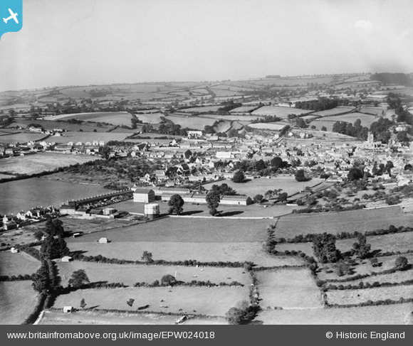
EPW024018 ENGLAND (1928). The town and Webbing Factory, Crewkerne, from the east, 1928
© Copyright OpenStreetMap contributors and licensed by the OpenStreetMap Foundation. 2025. Cartography is licensed as CC BY-SA.
Nearby Images (2)
EPW024018

EPW024017

Details
| Title | [EPW024018] The town and Webbing Factory, Crewkerne, from the east, 1928 |
| Reference | EPW024018 |
| Date | September-1928 |
| Link | |
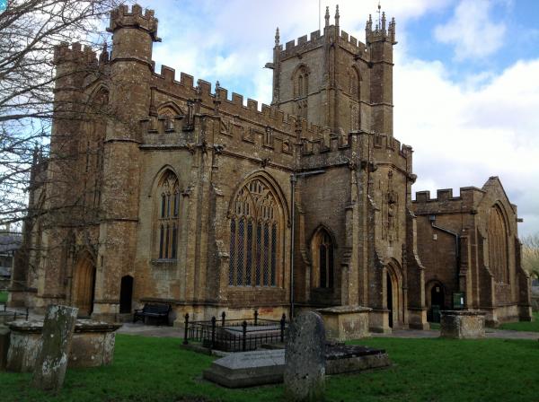
| Place name | CREWKERNE |
| Parish | CREWKERNE |
| District | |
| Country | ENGLAND |
| Easting / Northing | 344726, 109630 |
| Longitude / Latitude | -2.785825208306, 50.88295906206 |
| National Grid Reference | ST447096 |