
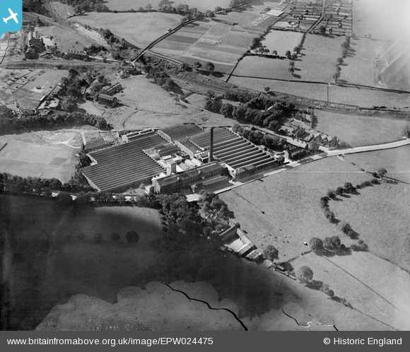
EPW024475 ENGLAND (1928). Nunroyd Cloth Mills, Guiseley, 1928. This image has been produced from a damaged negative.
© Copyright OpenStreetMap contributors and licensed by the OpenStreetMap Foundation. 2025. Cartography is licensed as CC BY-SA.
Nearby Images (2)
EPW024475

EPW024472

Details
| Title | [EPW024475] Nunroyd Cloth Mills, Guiseley, 1928. This image has been produced from a damaged negative. |
| Reference | EPW024475 |
| Date | September-1928 |
| Link | |
| Place name | GUISELEY |
| Parish | |
| District | |
| Country | ENGLAND |
| Easting / Northing | 419614, 441535 |
| Longitude / Latitude | -1.7016793026195, 53.869447091795 |
| National Grid Reference | SE196415 |
