
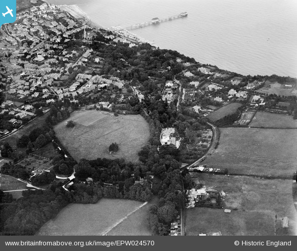
EPW024570 ENGLAND (1928). Big Meade Recreation Ground and environs, Shanklin, 1928
© Copyright OpenStreetMap contributors and licensed by the OpenStreetMap Foundation. 2025. Cartography is licensed as CC BY-SA.
Nearby Images (20)
EPW024570

EPW024577

EPW024571

EPW024566

EPW024567

EPW024569

EPW022909

EPW022904

EPW022908

EPW024565

EPW024572

EPW024575

EPW022906

EPW024576

EPW022907

EPW022905

EPW024574

EPW024568

EPW024573

EPW039649

Details
| Title | [EPW024570] Big Meade Recreation Ground and environs, Shanklin, 1928 |
| Reference | EPW024570 |
| Date | September-1928 |
| Link | |
| Place name | SHANKLIN |
| Parish | SHANKLIN |
| District | |
| Country | ENGLAND |
| Easting / Northing | 458072, 80731 |
| Longitude / Latitude | -1.1789593874423, 50.622803649396 |
| National Grid Reference | SZ581807 |
Pins
Be the first to add a comment to this image!