
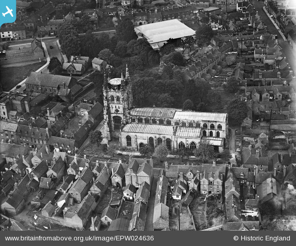
EPW024636 ENGLAND (1928). St Editha's Church, Tamworth, 1928
© Copyright OpenStreetMap contributors and licensed by the OpenStreetMap Foundation. 2025. Cartography is licensed as CC BY-SA.
Nearby Images (17)
EPW024636

EPW024637

EPW019733

EPW019734

EAW003618

EAW003616

EAW007512

EAW007510

EAW003617

EAW007514

EAW007509

EPW019732

EAW007511

EPW019731

EAW007508

EPW024630

EAW007513

Details
| Title | [EPW024636] St Editha's Church, Tamworth, 1928 |
| Reference | EPW024636 |
| Date | September-1928 |
| Link | |
| Place name | TAMWORTH |
| Parish | |
| District | |
| Country | ENGLAND |
| Easting / Northing | 420776, 304085 |
| Longitude / Latitude | -1.6929818155903, 52.633766954584 |
| National Grid Reference | SK208041 |
Pins
 Chris Gibson |
Monday 16th of December 2019 12:23:44 AM | |
tamworthhistoryinphotos |
Wednesday 11th of November 2015 10:51:27 AM | |
Andrew Sandars |
Tuesday 13th of January 2015 08:04:11 PM | |
Chris Gibson |
Saturday 20th of October 2012 12:51:01 PM | |
Chris Gibson |
Saturday 20th of October 2012 12:33:28 PM | |
Angella |
Monday 30th of July 2012 08:43:28 PM | |
Angella |
Monday 30th of July 2012 08:41:24 PM | |
Angella |
Monday 30th of July 2012 08:41:01 PM | |
Angella |
Monday 30th of July 2012 08:40:40 PM |

User Comment Contributions
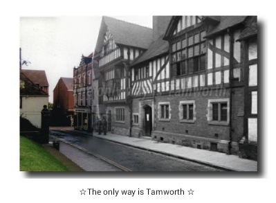 Church Street |
tamworthhistoryinphotos |
Wednesday 11th of November 2015 10:48:05 AM |
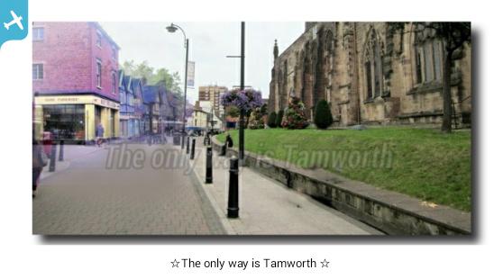
I have this photo on my group Tamworth history in photos |
lendl43@aol.co.uk |
Saturday 27th of October 2012 11:02:58 AM |