
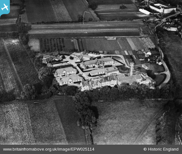
EPW025114 ENGLAND (1928). The Wandle Valley Isolation Hospital, St Helier, 1928. This image has been produced from a print.
© Copyright OpenStreetMap contributors and licensed by the OpenStreetMap Foundation. 2025. Cartography is licensed as CC BY-SA.
Nearby Images (4)
EPW025114

EAW004315

EAW004314

EAW004313

Details
| Title | [EPW025114] The Wandle Valley Isolation Hospital, St Helier, 1928. This image has been produced from a print. |
| Reference | EPW025114 |
| Date | October-1928 |
| Link | |
| Place name | ST HELIER |
| Parish | |
| District | |
| Country | ENGLAND |
| Easting / Northing | 527726, 166586 |
| Longitude / Latitude | -0.16433855548602, 51.383434104998 |
| National Grid Reference | TQ277666 |
Pins
 Wade |
Friday 2nd of October 2020 08:51:29 AM |