
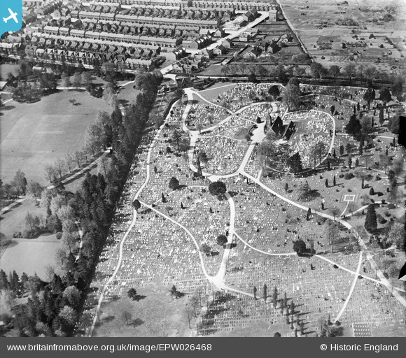
EPW026468 ENGLAND (1929). The Cemetery, Bedford, 1929
© Copyright OpenStreetMap contributors and licensed by the OpenStreetMap Foundation. 2025. Cartography is licensed as CC BY-SA.
Nearby Images (2)
EPW026468

EPW022389

Details
| Title | [EPW026468] The Cemetery, Bedford, 1929 |
| Reference | EPW026468 |
| Date | May-1929 |
| Link | |
| Place name | BEDFORD |
| Parish | |
| District | |
| Country | ENGLAND |
| Easting / Northing | 504904, 251135 |
| Longitude / Latitude | -0.46665548566414, 52.148117085374 |
| National Grid Reference | TL049511 |
Pins
 BallisticBerry |
Thursday 9th of April 2020 04:32:07 PM | |
D Park |
Friday 23rd of August 2013 04:16:52 PM | |
 Class31 |
Saturday 27th of October 2012 06:01:27 PM | |
Class31 |
Saturday 27th of October 2012 06:01:02 PM | |
Class31 |
Saturday 27th of October 2012 06:00:36 PM | |
Class31 |
Saturday 27th of October 2012 06:00:16 PM | |
Class31 |
Saturday 27th of October 2012 05:59:41 PM | |
Class31 |
Saturday 27th of October 2012 05:59:08 PM |