
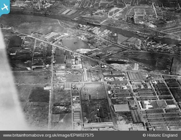
EPW027575 ENGLAND (1929). The industrial estate, Trafford Park, 1929. This image has been produced from a copy-negative.
© Copyright OpenStreetMap contributors and licensed by the OpenStreetMap Foundation. 2025. Cartography is licensed as CC BY-SA.
Nearby Images (14)
EPW027575

EPW027984

EPW027850

EPW027849

EPW027852

EPW027477

EPW027985

EPW027989

EPW027988

EPW027987

EPW027986

EPW028133

EPW028131

EPW028132

Details
| Title | [EPW027575] The industrial estate, Trafford Park, 1929. This image has been produced from a copy-negative. |
| Reference | EPW027575 |
| Date | 18-June-1929 |
| Link | |
| Place name | TRAFFORD PARK |
| Parish | |
| District | |
| Country | ENGLAND |
| Easting / Northing | 379307, 396998 |
| Longitude / Latitude | -2.3117622277974, 53.469058867339 |
| National Grid Reference | SJ793970 |
Pins
Be the first to add a comment to this image!