
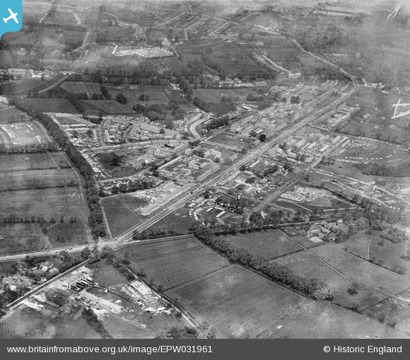
EPW031961 ENGLAND (1930). St Helier and environs, Morden, 1930
© Copyright OpenStreetMap contributors and licensed by the OpenStreetMap Foundation. 2025. Cartography is licensed as CC BY-SA.
Nearby Images (9)
EPW031961

EPW031963

EPW031960

EPW031967

EPW031962

EPW031966

EPW031810

EPW035584

EPW031814

Details
| Title | [EPW031961] St Helier and environs, Morden, 1930 |
| Reference | EPW031961 |
| Date | May-1930 |
| Link | |
| Place name | MORDEN |
| Parish | |
| District | |
| Country | ENGLAND |
| Easting / Northing | 526059, 167026 |
| Longitude / Latitude | -0.18812728934642, 51.387761658356 |
| National Grid Reference | TQ261670 |
Pins
 Dave Smith |
Monday 4th of November 2013 12:59:26 PM | |
Dave Smith |
Monday 4th of November 2013 12:58:45 PM | |
Dave Smith |
Monday 4th of November 2013 12:58:12 PM | |
Dave Smith |
Monday 4th of November 2013 12:57:50 PM |