
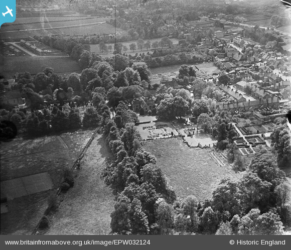
EPW032124 ENGLAND (1930). The Priory and environs, Orpington, 1930
© Copyright OpenStreetMap contributors and licensed by the OpenStreetMap Foundation. 2025. Cartography is licensed as CC BY-SA.
Nearby Images (13)
EPW032124

EPW032122

EPW032116

EPW032118

EPW032130

EPW032120

EPW032131

EPW032117

EPW032121

EPW032123

EPW032119

EPW032132

EPW032128

Details
| Title | [EPW032124] The Priory and environs, Orpington, 1930 |
| Reference | EPW032124 |
| Date | May-1930 |
| Link | |
| Place name | ORPINGTON |
| Parish | |
| District | |
| Country | ENGLAND |
| Easting / Northing | 546589, 166552 |
| Longitude / Latitude | 0.1065598151902, 51.378569954117 |
| National Grid Reference | TQ466666 |
Pins
Be the first to add a comment to this image!