
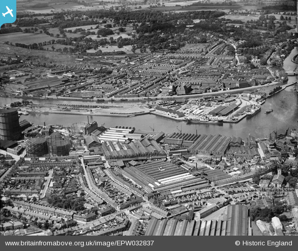
EPW032837 ENGLAND (1930). The docks, Ipswich, 1930
© Copyright OpenStreetMap contributors and licensed by the OpenStreetMap Foundation. 2025. Cartography is licensed as CC BY-SA.
Nearby Images (21)
EPW032837

EPW032859

EPW032836

EAW033332

EPW032853

EPW032877

EPW058769
 Ltd timber works, Three Cranes Wharf and environs, Ipswich, 1938")
EPW032856

EPW058764
 Ltd timber works, Wet Dock and environs, Ipswich, 1938")
EPW058768
 Ltd timber works, Wet Dock and environs, Ipswich, 1938")
EPW032849

EPW058766
 Ltd timber works, Three Cranes Wharf and environs, Ipswich, 1938")
EPW058765
 Ltd timber works, Wet Dock and environs, Ipswich, 1938")
EPW058767
 Ltd timber works, Three Cranes Wharf and New Cut East, Ipswich, 1938")
EPW032858

EPW059177

EPW005253

EPW032845

EAW033331

EPW041400

EPW032832

Details
| Title | [EPW032837] The docks, Ipswich, 1930 |
| Reference | EPW032837 |
| Date | June-1930 |
| Link | |
| Place name | IPSWICH |
| Parish | |
| District | |
| Country | ENGLAND |
| Easting / Northing | 616885, 243729 |
| Longitude / Latitude | 1.1634117296588, 52.049022107947 |
| National Grid Reference | TM169437 |
Pins
 MB |
Tuesday 4th of October 2016 09:24:50 PM | |
Where's Canning Town? |
Saturday 15th of March 2014 03:25:59 PM |
User Comment Contributions
 Ransomes Sims & Jefferies produced the FE.2b biplane in W.W.1 A photo taken inside shows my granddad, second from right in the middle row, wearing a bow tie. http://www.flickr.com/photos/kindredspirituk/10609728686/in/photostream/ |
Where's Canning Town? |
Saturday 15th of March 2014 03:30:18 PM |