
EPW033294 ENGLAND (1930). The town, Trowbridge, 1930

© Copyright OpenStreetMap contributors and licensed by the OpenStreetMap Foundation. 2025. Cartography is licensed as CC BY-SA.
Nearby Images (11)
EPW033294

EPW011146

EPW011147

EPW033204

EAW028645

EAW028646

EPW011148

EPW033289

EAW028648

EPW014684

EAW028649

Details
| Title | [EPW033294] The town, Trowbridge, 1930 |
| Reference | EPW033294 |
| Date | July-1930 |
| Link | |
| Place name | TROWBRIDGE |
| Parish | TROWBRIDGE |
| District | |
| Country | ENGLAND |
| Easting / Northing | 385509, 157969 |
| Longitude / Latitude | -2.2079682699708, 51.320137712632 |
| National Grid Reference | ST855580 |
Pins
 J |
Monday 19th of December 2022 12:51:12 AM | |
J |
Monday 19th of December 2022 12:50:38 AM | |
J |
Monday 19th of December 2022 12:50:13 AM | |
andy |
Sunday 1st of December 2013 10:27:52 PM | |
 Class31 |
Thursday 4th of April 2013 08:35:52 AM | |
Class31 |
Thursday 4th of April 2013 08:35:20 AM | |
Class31 |
Thursday 4th of April 2013 08:33:21 AM | |
Class31 |
Wednesday 12th of December 2012 03:57:58 PM | |
Class31 |
Wednesday 12th of December 2012 03:57:27 PM | |
Class31 |
Wednesday 12th of December 2012 03:57:00 PM | |
Class31 |
Wednesday 12th of December 2012 03:56:00 PM | |
Class31 |
Wednesday 12th of December 2012 03:55:28 PM | |
Class31 |
Monday 10th of December 2012 08:03:09 PM | |
Class31 |
Monday 10th of December 2012 08:02:31 PM | |
Class31 |
Monday 10th of December 2012 08:01:25 PM |
User Comment Contributions
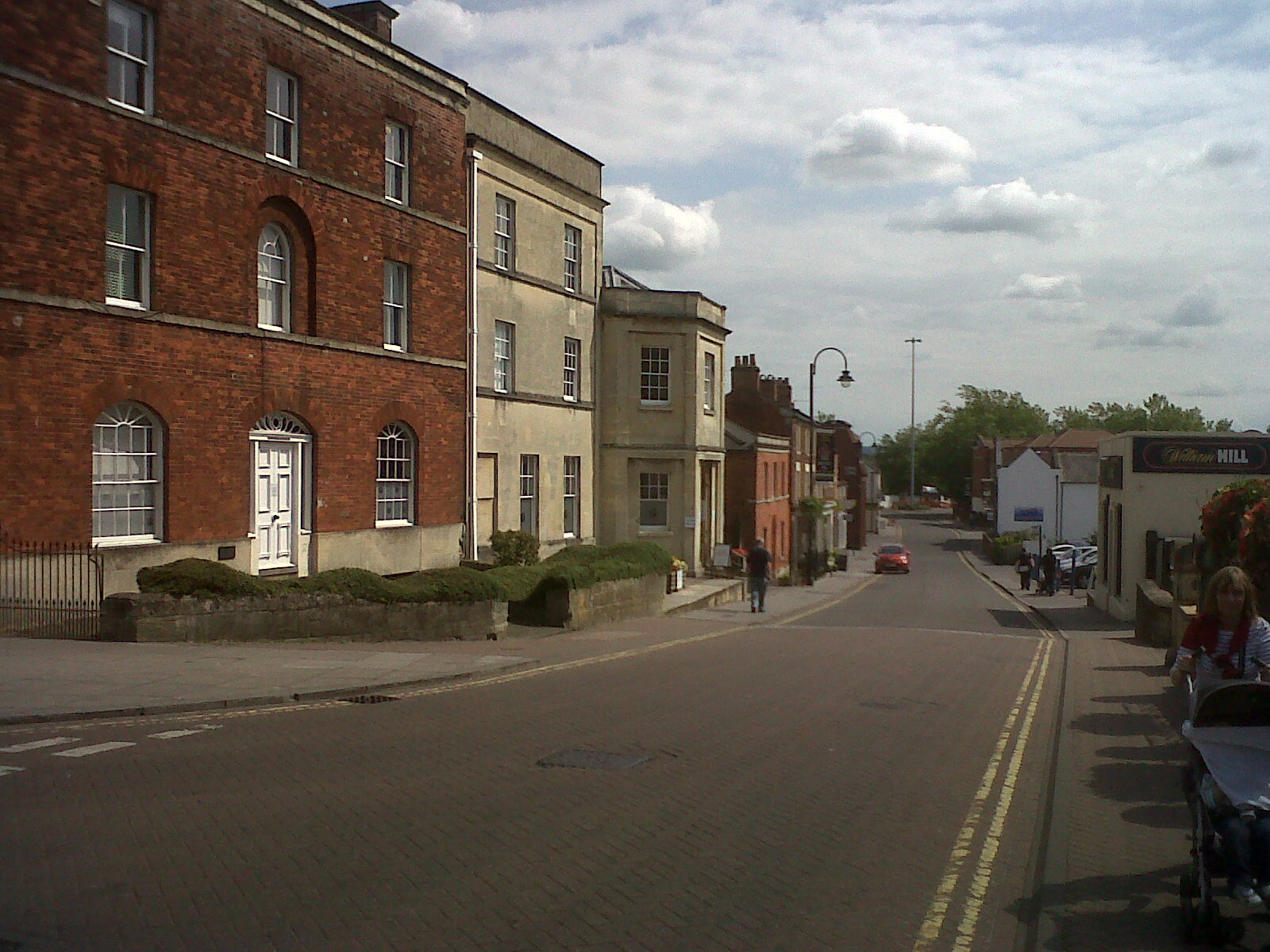 Castle Street looking south. |
Class31 |
Thursday 4th of July 2013 06:07:32 PM |