
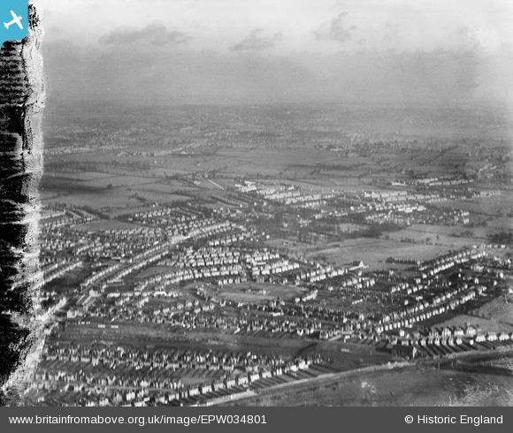
EPW034801 ENGLAND (1931). Northwick Circle and environs, Kenton, from the south-west, 1931. This image has been produced from a damaged negative.
© Copyright OpenStreetMap contributors and licensed by the OpenStreetMap Foundation. 2025. Cartography is licensed as CC BY-SA.
Nearby Images (5)
EPW034801

EPW016639

EPW044065

EPW034800

EPW034804

Details
| Title | [EPW034801] Northwick Circle and environs, Kenton, from the south-west, 1931. This image has been produced from a damaged negative. |
| Reference | EPW034801 |
| Date | 27-January-1931 |
| Link | |
| Place name | KENTON |
| Parish | |
| District | |
| Country | ENGLAND |
| Easting / Northing | 517211, 188434 |
| Longitude / Latitude | -0.30813177255986, 51.582086925065 |
| National Grid Reference | TQ172884 |
Pins
 The Laird |
Saturday 20th of February 2016 11:42:09 AM |