
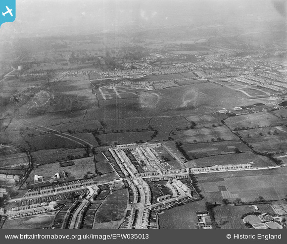
EPW035013 ENGLAND (1931). Stag Lane Aerodrome and surrounding residential development, Queensbury, from the south, 1931
© Copyright OpenStreetMap contributors and licensed by the OpenStreetMap Foundation. 2025. Cartography is licensed as CC BY-SA.
Nearby Images (3)
EPW035013

EPW035012

EPW035009

Details
| Title | [EPW035013] Stag Lane Aerodrome and surrounding residential development, Queensbury, from the south, 1931 |
| Reference | EPW035013 |
| Date | 18-April-1931 |
| Link | |
| Place name | QUEENSBURY |
| Parish | |
| District | |
| Country | ENGLAND |
| Easting / Northing | 519260, 189452 |
| Longitude / Latitude | -0.2782240495241, 51.590807082452 |
| National Grid Reference | TQ193895 |
Pins
 Graham Honey |
Tuesday 11th of June 2024 06:07:01 PM | |
 Class31 |
Saturday 30th of March 2013 08:54:28 PM | |
Class31 |
Saturday 30th of March 2013 08:53:33 PM | |
Class31 |
Saturday 30th of March 2013 08:52:55 PM | |
Class31 |
Saturday 30th of March 2013 08:52:40 PM | |
Class31 |
Saturday 30th of March 2013 08:52:08 PM |