
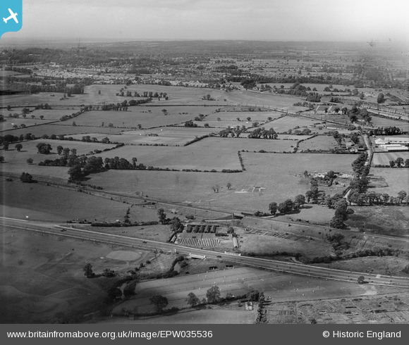
EPW035536 ENGLAND (1931). The site of the Greystoke Estate, Perivale, from the south, 1931
© Copyright OpenStreetMap contributors and licensed by the OpenStreetMap Foundation. 2025. Cartography is licensed as CC BY-SA.
Nearby Images (6)
EPW035536

EPW035291

EPW038723

EPW035535

EPW040779

EPW040784

Details
| Title | [EPW035536] The site of the Greystoke Estate, Perivale, from the south, 1931 |
| Reference | EPW035536 |
| Date | June-1931 |
| Link | |
| Place name | PERIVALE |
| Parish | |
| District | |
| Country | ENGLAND |
| Easting / Northing | 517439, 182841 |
| Longitude / Latitude | -0.30671064391449, 51.531766857003 |
| National Grid Reference | TQ174828 |
Pins
Be the first to add a comment to this image!