
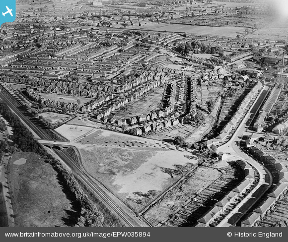
EPW035894 ENGLAND (1931). Housing surrounding Foxton Road, Watson Road and Sunnydene, Saltley, 1931
© Copyright OpenStreetMap contributors and licensed by the OpenStreetMap Foundation. 2025. Cartography is licensed as CC BY-SA.
Nearby Images (7)
EPW035894

EPW035895

EPW035898

EPW035892

EPW035893

EPW035896

EPW035897

Details
| Title | [EPW035894] Housing surrounding Foxton Road, Watson Road and Sunnydene, Saltley, 1931 |
| Reference | EPW035894 |
| Date | July-1931 |
| Link | |
| Place name | SALTLEY |
| Parish | |
| District | |
| Country | ENGLAND |
| Easting / Northing | 410976, 288087 |
| Longitude / Latitude | -1.8383304670432, 52.490218129305 |
| National Grid Reference | SP110881 |
Pins
.jpg?itok=pbtq_3gM) |
 d.benbow |
Sunday 3rd of April 2016 06:04:37 PM |
.jpg?itok=FTu_TaQA) |
d.benbow |
Sunday 3rd of April 2016 06:02:22 PM |
MWS |
Friday 14th of December 2012 01:05:01 PM | |
MWS |
Friday 14th of December 2012 01:04:15 PM | |
MWS |
Friday 14th of December 2012 01:02:58 PM | |
MWS |
Friday 14th of December 2012 01:01:57 PM | |
MWS |
Friday 14th of December 2012 01:01:21 PM | |
MWS |
Friday 14th of December 2012 01:00:44 PM |