
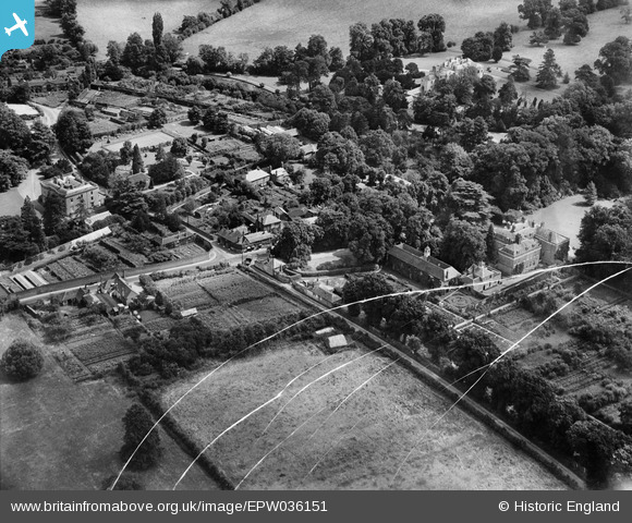
EPW036151 ENGLAND (1931). The hamlet, Bray Wick, 1931. This image has ben produced from a damaged negative.
© Copyright OpenStreetMap contributors and licensed by the OpenStreetMap Foundation. 2025. Cartography is licensed as CC BY-SA.
Nearby Images (2)
EPW036151

EPW036184

Details
| Title | [EPW036151] The hamlet, Bray Wick, 1931. This image has ben produced from a damaged negative. |
| Reference | EPW036151 |
| Date | August-1931 |
| Link | |
| Place name | BRAY WICK |
| Parish | BRAY |
| District | |
| Country | ENGLAND |
| Easting / Northing | 489410, 179352 |
| Longitude / Latitude | -0.71160383463289, 51.50553609906 |
| National Grid Reference | SU894794 |
Pins
 Dave |
Saturday 23rd of May 2020 02:18:04 PM | |
designking |
Saturday 27th of September 2014 08:17:36 PM | |
designking |
Saturday 27th of September 2014 08:15:18 PM | |
designking |
Saturday 27th of September 2014 08:14:40 PM |