
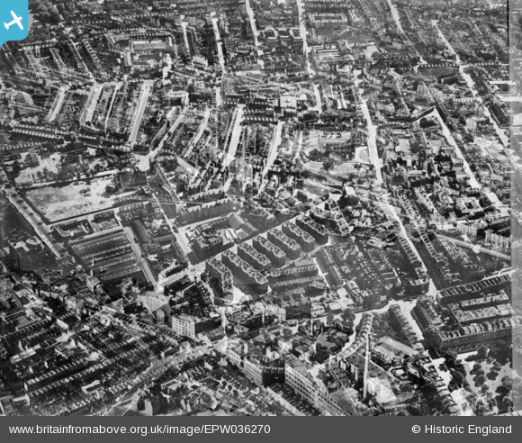
EPW036270 ENGLAND (1931). The Samuel Lewis Trust Dwellings, St Luke's Church and environs, Chelsea, 1931. This image has been produced from a double-exposed copy-negative.
© Copyright OpenStreetMap contributors and licensed by the OpenStreetMap Foundation. 2025. Cartography is licensed as CC BY-SA.
Nearby Images (13)
EPW036270

EPW035605

EPW035607

EPW036272

EPW036269

EPW036274

EPW036276

EPW035606

EPW036273

EPW036271

EPW060779

EPW036275

EPW060784

Details
| Title | [EPW036270] The Samuel Lewis Trust Dwellings, St Luke's Church and environs, Chelsea, 1931. This image has been produced from a double-exposed copy-negative. |
| Reference | EPW036270 |
| Date | August-1931 |
| Link | |
| Place name | CHELSEA |
| Parish | |
| District | |
| Country | ENGLAND |
| Easting / Northing | 527223, 178506 |
| Longitude / Latitude | -0.16727975009532, 51.49068417061 |
| National Grid Reference | TQ272785 |
Pins
Be the first to add a comment to this image!